365 High Street, Enfield, EN3 4DH
About 365 High Street
365 High Street is a mid-terrace house in Enfield (EN3 4DH). It has a recorded floor area of 104 m² (around 1119 sq ft), construction records dating it to 1900-1929 and council tax band D. The latest certificate (June 2022) shows a D (score 67), on the cusp of jumping into the C band. The recommended improvements would lift it to B (score 87), a 2-band jump.
At 104 m² it's 18.2% larger than the typical home in the postcode (88 m² median across 34 EPCs). On a £-per-square-foot basis, the last sale (£375/sq ft) was about 62.7% above the typical sold price in the postcode. Sold September 2022 for £420,000. That sale was during the post-pandemic price surge, when transactions cleared materially above pre-2020 trend. One historical planning record sits against the property in 2014.
Everything you need to know about 365 High Street
The true value, the hidden risks and the full sale history, in one report.
30-day money-back guarantee

The data behind every report


Energy performance
Recommended upgrades on file would lift this property by multiple EPC bands.
EPC Rating
Planning history
- Jul 2014ExtensionOutlineIn report
Extension: Single storey · Rear of property
Single storey rear extension 6m and 3m deep x 3.7m high (2.3m high to eaves)
- Documents
- 5 docs on file
- Reference
- 14/02289/PRH
We flagged 1 thing worth checking at 365 High Street
Independent checks surfaced things a buyer would want to understand before offering. The report explains each one in full, with the underlying data and what to ask.
- Signs of HMO activity in the area
30-day money-back guarantee
Sales history & valuation
The latest sale landed in the post-pandemic price surge — useful context when reading the figure.
£456,000
Modelled from EPC, postcode comparables.
£420,000
Recorded with HM Land Registry.
Sales timeline
20 September 2022Most recent
£420,000
Median price across the last 5 sales in EN3 4DH: £396,000 (2022–2021).
Versus other High Street homes
On years held, 365 High Street runs well behind the street norm.
Price per m²
£4,038
Street avg £3,410
Floor Area
104 m²
Street avg 89 m²
Habitable Rooms
5 rooms
Street avg 4 rooms
CO₂ Emissions
3.7 t/year
Street avg 4.6 t/year
Everything you need to know about 365 High Street
The true value, the hidden risks and the full sale history, in one report.
30-day money-back guarantee
The data behind every report
Similar properties nearby
The neighbourhood at a glance
Rail-style transport is unusually close for this postcode.
Crime
8/mo
Rising year-on-year across the wider district.
Nearest stop
0.0 km
Durants Road — bus stop.
Closest school
0.2 km
Southbury Primary School. 46 schools nearby.
Go deeper on the local area
The full report breaks down crime, transport links, schools and air quality in depth.
Road noise across the postcode
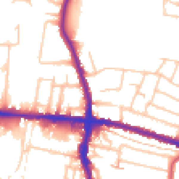
Daytime· 07:00 – 23:00
52.7dB

Night-time· 23:00 – 07:00
42.9dB