343a, High Street, Enfield, EN3 4DH
About 343a
343a is a mid-terrace house in Enfield (EN3 4DH). It has a recorded floor area of 41 m² (around 441 sq ft), construction records dating it to 1950-1966 and council tax band B. At 41 m² this is the 8th smallest of 35 units on EPC record in the building, where floor areas span 32–112 m². The building's EPC ratings span G to C across 35 units on file. The latest certificate (June 2016) shows a D (score 66), on the cusp of jumping into the C band. The recommended improvements would push it to C (score 75). The latest certificate is from June 2016, so improvements made since then won't be reflected.
At 41 m² it sits well below the postcode median (88 m² across 34 EPCs), making it one of the more compact homes locally. Across 2007–2016, sale prices on this property compounded at 3.9% per year. On a £-per-square-foot basis, the last sale (£477/sq ft) was about 113.1% above the typical sold price in the postcode. On the market in November 2016 and unlisted since — roughly 10 years.
Everything you need to know about 343a
The true value, the hidden risks and the full sale history, in one report.
30-day money-back guarantee

The data behind every report


Energy performance
EPC Expired
This certificate is over 10 years old and is no longer valid.Expired 15 Jun 2026
EPC Rating
Planning history
343a has no planning applications on record.
Notable planning nearby
39applications of note in the surrounding area
We flagged 1 thing worth checking at 343a
Independent checks surfaced things a buyer would want to understand before offering. The report explains each one in full, with the underlying data and what to ask.
- Signs of HMO activity in the area
30-day money-back guarantee
Sales history & valuation
343a valuation sits well clear of the typical sold price in this postcode.
£224,000
Modelled from EPC, postcode comparables and a sale-price growth of 3.9% per year over 10 years.
£210,500
Growth on file: 3.9% per year over 10 years.
Sales timeline
17 November 2016Most recent
£210,500
+44.2%over 9 years23 March 2007
£146,000
Median price across the last 5 sales in EN3 4DH: £400,000 (2022–2021).
Versus other High Street homes
CO₂ Emissions for 343a runs comfortably ahead of the street norm.
Price per m²
£5,134
Street avg £4,253
Floor Area
41 m²
Street avg 42 m²
Habitable Rooms
2 rooms
Street avg 3 rooms
CO₂ Emissions
1.9 t/year
Street avg 2.4 t/year
Everything you need to know about 343a
The true value, the hidden risks and the full sale history, in one report.
30-day money-back guarantee
The data behind every report
Similar properties nearby
The neighbourhood at a glance
Rail-style transport is unusually close for this postcode.
Crime
8/mo
Rising year-on-year across the wider district.
Nearest stop
0.0 km
Durants Road — bus stop.
Closest school
0.2 km
Southbury Primary School. 46 schools nearby.
Go deeper on the local area
The full report breaks down crime, transport links, schools and air quality in depth.
Road noise across the postcode
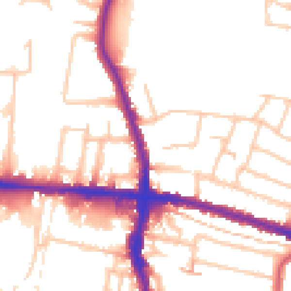
Daytime· 07:00 – 23:00
52.7dB

Night-time· 23:00 – 07:00
42.9dB