339a, High Street, Enfield, EN3 4DH
About 339a
339a is a mid-terrace house in Enfield (EN3 4DH). It has a recorded floor area of 46 m² (around 495 sq ft) and construction records dating it to 1900-1929. The latest certificate (July 2021) shows a D (score 61), on the cusp of jumping into the C band. When first surveyed in November 2019 the rating was E, the property has climbed 1 band since. Between certificates, hot-water efficiency went from Very Poor to Good, lighting went from Very Poor to Very Good and main heating went from Very Poor to Good. At 46 m² this is the 13th smallest of 35 units on EPC record in the building, where floor areas span 32–112 m². The building's EPC ratings span G to C across 35 units on file.
At 46 m² it sits well below the postcode median (88 m² across 34 EPCs), making it one of the more compact homes locally.
Everything you need to know about 339a
The true value, the hidden risks and the full sale history, in one report.
30-day money-back guarantee

The data behind every report


Energy performance
EPC Rating
Property Improvements
Changes detected from historical EPC data
Upgraded to gas central heating
Connected to mains gas supply
Heating controls upgraded for better temperature management
Hot water system upgraded
More low energy lighting installed
Planning history
339a has no planning applications on record.
Notable planning nearby
39applications of note in the surrounding area
We flagged 1 thing worth checking at 339a
Independent checks surfaced things a buyer would want to understand before offering. The report explains each one in full, with the underlying data and what to ask.
- Signs of HMO activity in the area
30-day money-back guarantee
Sales history & valuation
339a has no Land Registry sales on file, suggesting it has stayed in the same hands since registration began.
£252,000
Modelled from EPC, postcode comparables.
No sales recorded with HM Land Registry
That can mean the property has never traded since the registry began publishing in 1995, was a new build that hasn't been registered yet, or is held in the same hands long-term.
Median price across the last 5 sales in EN3 4DH: £400,000 (2022–2021).
Versus other High Street homes
339a outperforms the street on floor area by a wide margin.
EPC Rating
61 (D)
Street avg 60 (D)
Floor Area
46 m²
Street avg 42 m²
CO₂ Emissions
2.6 t/year
Street avg 2.4 t/year
Habitable Rooms
3 rooms
Street avg 3 rooms
Everything you need to know about 339a
The true value, the hidden risks and the full sale history, in one report.
30-day money-back guarantee
The data behind every report
Similar properties nearby
The neighbourhood at a glance
Rail-style transport is unusually close for this postcode.
Crime
8/mo
Rising year-on-year across the wider district.
Nearest stop
0.0 km
Durants Road — bus stop.
Closest school
0.2 km
Southbury Primary School. 46 schools nearby.
Go deeper on the local area
The full report breaks down crime, transport links, schools and air quality in depth.
Road noise across the postcode
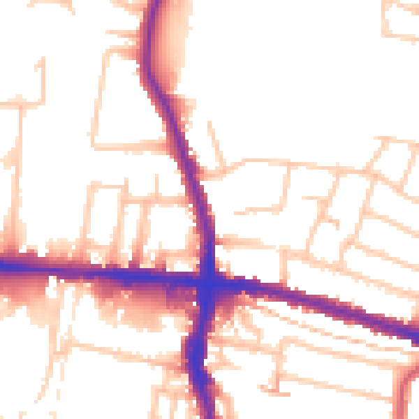
Daytime· 07:00 – 23:00
52.7dB

Night-time· 23:00 – 07:00
42.9dB