333 High Street, Enfield, EN3 4DH
About 333 High Street
333 High Street is a three-bedroom property in Enfield (EN3 4DH). It has a recorded floor area of 38 m² (around 409 sq ft) and construction records dating it to 1930-1949. Tenure is freehold. The latest certificate (February 2012) shows a D (score 55), a step below the typical UK home. When first surveyed in January 2011 the rating was E, the property has climbed 1 band since. Between certificates, window efficiency went from Poor to Good; while lighting dropped from Good to Average. The recommended improvements would push it to C (score 75). Main heating runs on electricity. The latest certificate is from February 2012, so improvements made since then won't be reflected. At 38 m² this is the 2nd smallest of 35 units on EPC record in the building, where floor areas span 32–112 m². The building's EPC ratings span G to C across 35 units on file.
Untraded for 25 years, with the last transfer in January 2001. Only one transfer is on record with HM Land Registry, suggesting it has stayed in the same hands for a long time. Today's modelled estimate of £222,000 sits 113.5% above the 2001 sale of £104,000. At 38 m² it sits well below the postcode median (88 m² across 34 EPCs), making it one of the more compact homes locally. 2 planning records sit against the property, 1 approved, 1 refused. Past consents include subdivision, meaningful when judging how the property has evolved.
What this property has
Inside
- Bedrooms3
Building
- TenureFreehold
Everything you need to know about 333 High Street
The true value, the hidden risks and the full sale history, in one report.
30-day money-back guarantee

The data behind every report


Energy performance
333 High Street's EPC is over a decade old — improvements since won't be reflected.
EPC Expired
This certificate is over 10 years old and is no longer valid.Expired 01 Mar 2022
EPC Rating
Property Improvements
Changes detected from historical EPC data
Heating controls upgraded for better temperature management
Hot water system changed
Windows upgraded, improving insulation
Low energy lighting percentage decreased
Planning history
Council records show a subdivision application — the property's legal arrangement has been altered.
- May 2007SubdivisionFullIn report
Conversion of single family dwelling house into 2 flats (comprising 1 x 1-bed and 1 x 2-bed).
- Documents
- 7 docs on file
- Reference
- TP/07/0310
- Jun 2006SubdivisionAmendmentIn report
Use of premises as two self-contained flats.
- Documents
- 6 docs on file
- Reference
- LDC/06/0177
We flagged 1 thing worth checking at 333 High Street
Independent checks surfaced things a buyer would want to understand before offering. The report explains each one in full, with the underlying data and what to ask.
- Signs of HMO activity in the area
30-day money-back guarantee
Sales history & valuation
333 High Street valuation sits well clear of the typical sold price in this postcode.
£222,000
Modelled from EPC, postcode comparables.
£104,000
Recorded with HM Land Registry.
Sales timeline
31 January 2001Most recent
£104,000
Median price across the last 5 sales in EN3 4DH: £400,000 (2022–2021).
Versus other High Street homes
On floor area, 333 High Street runs well behind the street norm.
Price per m²
£2,737
Street avg £4,519
Floor Area
38 m²
Street avg 42 m²
Habitable Rooms
3 rooms
Street avg 3 rooms
CO₂ Emissions
2.5 t/year
Street avg 2.4 t/year
Everything you need to know about 333 High Street
The true value, the hidden risks and the full sale history, in one report.
30-day money-back guarantee
The data behind every report
Similar properties nearby
The neighbourhood at a glance
Rail-style transport is unusually close for this postcode.
Crime
8/mo
Rising year-on-year across the wider district.
Nearest stop
0.0 km
Durants Road — bus stop.
Closest school
0.2 km
Southbury Primary School. 46 schools nearby.
Go deeper on the local area
The full report breaks down crime, transport links, schools and air quality in depth.
Road noise across the postcode
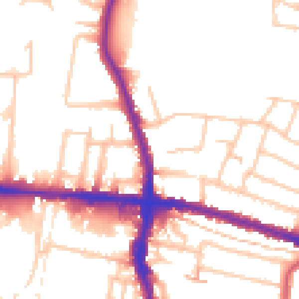
Daytime· 07:00 – 23:00
52.7dB

Night-time· 23:00 – 07:00
42.9dB