12 Northfield Road, Enfield, EN3 4BS
About 12 Northfield Road
12 Northfield Road is an end-of-terrace house in Enfield (EN3 4BS). It has a recorded floor area of 82 m² (around 883 sq ft), construction records dating it to 1900-1929 and council tax band D. The latest certificate (June 2021) shows a D (score 55), a step below the typical UK home. When first surveyed in December 2009 the rating was E, the property has climbed 1 band since. Between certificates, lighting went from Very Poor to Very Good; while roof efficiency dropped from Average to Very Poor. The recommended improvements would push it to C (score 78).
Held since May 2000 — that's 26 years off the open market, well above the local norm. Only one transfer is on record with HM Land Registry, suggesting it has stayed in the same hands for a long time. Today's modelled estimate of £470,000 sits 387% above the 2000 sale of £96,500. On a £-per-square-foot basis, the last sale (£109/sq ft) was about 60.5% below the postcode norm.
Everything you need to know about 12 Northfield Road
The true value, the hidden risks and the full sale history, in one report.
30-day money-back guarantee

The data behind every report


Energy performance
EPC Rating
Property Improvements
Changes detected from historical EPC data
Heating controls upgraded for better temperature management
More low energy lighting installed
Planning history
12 Northfield Road has no planning applications on record.
Notable planning nearby
39applications of note in the surrounding area
We flagged 1 thing worth checking at 12 Northfield Road
Independent checks surfaced things a buyer would want to understand before offering. The report explains each one in full, with the underlying data and what to ask.
- Signs of HMO activity in the area
30-day money-back guarantee
Sales history & valuation
12 Northfield Road's modelled value sits at over four times its earliest registered sale price (2000).
£470,000
Modelled from EPC, postcode comparables.
£96,500
Recorded with HM Land Registry.
Sales timeline
2 May 2000Most recent
£96,500
Median price across the last 5 sales in EN3 4BS: £436,000 (2025–2023).
Nearby sales in EN3 4BS
Versus other Northfield Road homes
Price per m² for 12 Northfield Road lags the street by a wide margin.
Price per m²
£1,177
Street avg £3,652
Floor Area
82 m²
Street avg 97 m²
Habitable Rooms
4 rooms
Street avg 5 rooms
CO₂ Emissions
4.6 t/year
Street avg 4.0 t/year
Everything you need to know about 12 Northfield Road
The true value, the hidden risks and the full sale history, in one report.
30-day money-back guarantee
The data behind every report
Similar properties nearby
The neighbourhood at a glance
Rail-style transport is unusually close for this postcode.
Crime
8/mo
Rising year-on-year across the wider district.
Nearest stop
0.2 km
Orchard Road (EN3) — bus stop.
Closest school
0.4 km
St Matthew's CofE Primary School. 45 schools nearby.
Go deeper on the local area
The full report breaks down crime, transport links, schools and air quality in depth.
Road noise across the postcode
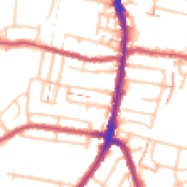
Daytime· 07:00 – 23:00
52.2dB

Night-time· 23:00 – 07:00
41.6dB