63 Norfolk Road, Enfield, EN3 4BE
About 63 Norfolk Road
63 Norfolk Road is a three-bedroom mid-terrace house in Enfield (EN3 4BE). It has a recorded floor area of 78 m² (around 840 sq ft), construction records dating it to 1930-1949 and council tax band D. The latest certificate (September 2016) shows a D (score 67), on the cusp of jumping into the C band. The recommended improvements would lift it to B (score 87), a 2-band jump. Other recorded features include a conservatory.
Last changed hands 9 years ago, in January 2017. At 78 m² it's 20% smaller than the typical home in the postcode (98 m² median across 12 EPCs). Today's modelled estimate of £481,000 is 23.3% above the 2017 sale price. One historical planning record sits against the property in 2018.
What this property has
Inside
- Bedrooms3
- Bathrooms1
- Dining roomYes
- CloakroomYes
- ConservatoryYes
Outside
- Private gardenRear
- GarageDetached
Everything you need to know about 63 Norfolk Road
The true value, the hidden risks and the full sale history, in one report.
30-day money-back guarantee

The data behind every report


Energy performance
Recommended upgrades on file would lift this property by multiple EPC bands.
EPC Rating
Planning history
- Jan 2018ExtensionOutlineIn report
Extension: Single storey · Rear of property
Single storey rear extension 6m deep x 3.15m high (3m high to eaves).
- Agent
- E.R.K Structural & Design Constancy
- Documents
- 6 docs on file
- Reference
- 17/05332/PRH
We flagged 1 thing worth checking at 63 Norfolk Road
Independent checks surfaced things a buyer would want to understand before offering. The report explains each one in full, with the underlying data and what to ask.
- Signs of HMO activity in the area
30-day money-back guarantee
Sales history & valuation
63 Norfolk Road valuation sits well clear of the typical sold price in this postcode.
£481,000
Modelled from EPC, postcode comparables.
£390,000
Recorded with HM Land Registry.
Sales timeline
11 January 2017Most recent
£390,000
Median price across the last 5 sales in EN3 4BE: £560,000 (2024–2018).
Versus other Norfolk Road homes
63 Norfolk Road is notably below the street on floor area.
Price per m²
£5,000
Street avg £4,539
Floor Area
78 m²
Street avg 105 m²
Habitable Rooms
5 rooms
Street avg 5 rooms
CO₂ Emissions
3.0 t/year
Street avg 4.4 t/year
Everything you need to know about 63 Norfolk Road
The true value, the hidden risks and the full sale history, in one report.
30-day money-back guarantee
The data behind every report
Similar properties nearby
The neighbourhood at a glance
Rail-style transport is unusually close for this postcode.
Crime
8/mo
Rising year-on-year across the wider district.
Nearest stop
0.3 km
Suffolk Road Enfield — bus stop.
Closest school
0.5 km
Heron Hall Academy. 45 schools nearby.
Go deeper on the local area
The full report breaks down crime, transport links, schools and air quality in depth.
Road noise across the postcode
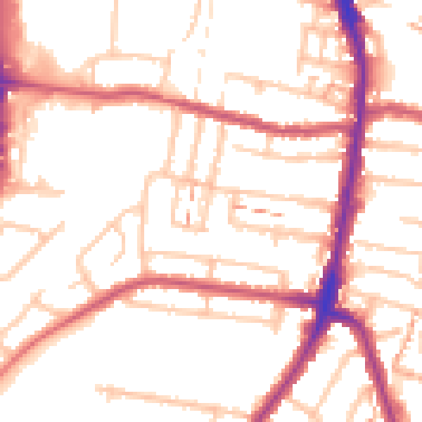
Daytime· 07:00 – 23:00
52.6dB

Night-time· 23:00 – 07:00
42.3dB