6 Chester Gardens, Enfield, EN3 4BB
About 6 Chester Gardens
6 Chester Gardens is a mid-terrace house in Enfield (EN3 4BB). It has a recorded floor area of 95 m² (around 1023 sq ft), construction records dating it to 1930-1949 and council tax band D. The latest certificate (January 2026) shows a C (score 72). When first surveyed in November 2024 the rating was D, the property has climbed 1 band since. Between certificates, roof efficiency went from Very Poor to Average. The recommended improvements would push it to B (score 82). This certificate was lodged in the last six months, so the rating reflects current condition.
Most recent transfer was March 2025 at £480,000 — fresh data. Its energy rating outperforms most of the postcode (better than 75% of similar EPCs). On a £-per-square-foot basis, the last sale (£469/sq ft) was about 107.6% above the typical sold price in the postcode.
Everything you need to know about 6 Chester Gardens
The true value, the hidden risks and the full sale history, in one report.
30-day money-back guarantee

The data behind every report


Energy performance
The EPC has just been inspected, so the rating reflects current condition.
EPC Rating
Property Improvements
Changes detected from historical EPC data
Roof insulation improved
More low energy lighting installed
Planning history
6 Chester Gardens has no planning applications on record.
Notable planning nearby
39applications of note in the surrounding area
We flagged 1 thing worth checking at 6 Chester Gardens
Independent checks surfaced things a buyer would want to understand before offering. The report explains each one in full, with the underlying data and what to ask.
- Signs of HMO activity in the area
30-day money-back guarantee
Sales history & valuation
Latest sale on 6 Chester Gardens was the highest on Land Registry record across the postcode.
£458,000
Modelled from EPC, postcode comparables.
£480,000
Recorded with HM Land Registry.
Sales timeline
7 March 2025Most recent
£480,000
Median price across the last 5 sales in EN3 4BB: £423,000 (2022–2018).
Nearby sales in EN3 4BB
Versus other Chester Gardens homes
Years Held for 6 Chester Gardens lags the street by a wide margin.
Price per m²
£5,053
Street avg £3,176
Floor Area
95 m²
Street avg 90 m²
Habitable Rooms
5 rooms
Street avg 5 rooms
CO₂ Emissions
2.7 t/year
Street avg 4.2 t/year
Everything you need to know about 6 Chester Gardens
The true value, the hidden risks and the full sale history, in one report.
30-day money-back guarantee
The data behind every report
Similar properties nearby
The neighbourhood at a glance
Rail-style transport is unusually close for this postcode.
Crime
8/mo
Rising year-on-year across the wider district.
Nearest stop
0.2 km
Suffolk Road Enfield — bus stop.
Closest school
0.5 km
Heron Hall Academy. 46 schools nearby.
Go deeper on the local area
The full report breaks down crime, transport links, schools and air quality in depth.
Road noise across the postcode
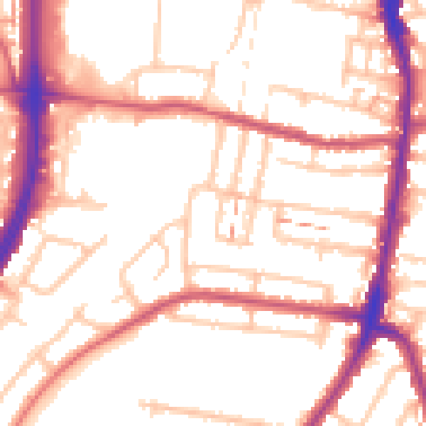
Daytime· 07:00 – 23:00
53.5dB

Night-time· 23:00 – 07:00
43.5dB