441 Lincoln Road, Enfield, EN3 4AQ
About 441 Lincoln Road
441 Lincoln Road is an end-of-terrace house in Enfield (EN3 4AQ). It has a recorded floor area of 121 m² (around 1302 sq ft), construction records dating it to 1930-1949 and council tax band C. The latest certificate (January 2024) shows a D (score 66), on the cusp of jumping into the C band. The recommended improvements would lift it to B (score 82), a 2-band jump.
Held since June 2004 — that's 22 years off the open market, well above the local norm. At 121 m² the property is well over the postcode median (76 m² across 24 EPCs), placing it in the larger end of the local stock. Today's modelled estimate of £517,000 sits 129.8% above the 2004 sale of £225,000. On a £-per-square-foot basis, the last sale (£173/sq ft) was about 28.2% below the postcode norm. One planning record on file: subdivision refused in 2018.
Everything you need to know about 441 Lincoln Road
The true value, the hidden risks and the full sale history, in one report.
30-day money-back guarantee

The data behind every report


Energy performance
Recommended upgrades on file would lift this property by multiple EPC bands.
EPC Rating
Planning history
Council records show a subdivision application — the property's legal arrangement has been altered.
- Mar 2018SubdivisionFullIn report
Conversion of single family dwelling house into 1 x 1-bed and 1 x 1-bed self-contained flats (Amended Description)
- Documents
- 8 docs on file
- Reference
- 17/04949/FUL
We flagged 1 thing worth checking at 441 Lincoln Road
Independent checks surfaced things a buyer would want to understand before offering. The report explains each one in full, with the underlying data and what to ask.
- Signs of HMO activity in the area
30-day money-back guarantee
Sales history & valuation
441 Lincoln Road valuation sits well clear of the typical sold price in this postcode.
£517,000
Modelled from EPC, postcode comparables.
£225,000
Recorded with HM Land Registry.
Sales timeline
30 June 2004Most recent
£225,000
Median price across the last 5 sales in EN3 4AQ: £340,000 (2024–2019).
Versus other Lincoln Road homes
441 Lincoln Road outperforms the street on floor area by a wide margin.
Price per m²
£1,860
Street avg £4,407
Floor Area
121 m²
Street avg 82 m²
Habitable Rooms
6 rooms
Street avg 5 rooms
CO₂ Emissions
4.4 t/year
Street avg 3.7 t/year
Everything you need to know about 441 Lincoln Road
The true value, the hidden risks and the full sale history, in one report.
30-day money-back guarantee
The data behind every report
Similar properties nearby
The neighbourhood at a glance
Rail-style transport is unusually close for this postcode.
Crime
8/mo
Rising year-on-year across the wider district.
Nearest stop
0.1 km
Lincoln Road Ponders End — bus stop.
Closest school
0.3 km
Heron Hall Academy. 46 schools nearby.
Go deeper on the local area
The full report breaks down crime, transport links, schools and air quality in depth.
Road noise across the postcode
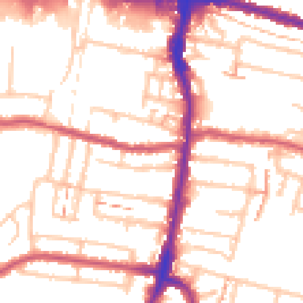
Daytime· 07:00 – 23:00
53.4dB

Night-time· 23:00 – 07:00
42.5dB