Are you a property professional?Get qualified leads from motivated homeowners.
Get started167 Ramsay Road, Waltham Forest, London, E7 9EP
3 sales on record
About 167 Ramsay Road
A plain-English summary derived from public records, EPC certificates, sold prices and local data.
167 Ramsay Road is a three-bedroom mid-terrace house in Waltham Forest, London, London (E7 9EP). It has a recorded floor area of 89 m² (around 958 sq ft), construction records dating it to 1900-1929 and council tax band C. The latest certificate (April 2021) shows a D (score 56), a step below the typical UK home. The rating has held steady at D across 2 certificates since November 2008. Between certificates, lighting dropped from Very Good to Good. The recommended improvements would lift it to B (score 88), a 2-band jump. Other recorded features include outbuildings.
Sale prices here have outpaced London HPI: 6.7% per year against 0% for the wider region. Today's modelled estimate of £745,000 is 33% above the 2021 sale price. On a £-per-square-foot basis, the last sale (£585/sq ft) was about 194.2% above the typical sold price in the postcode. One planning record on file: an extension approved in 2017. Past consents include an extension, meaningful when judging how the property has evolved. Most recent transfer: June 2021 at £560,000. That sale was during the post-pandemic price surge, when transactions cleared materially above pre-2020 trend.
What this property has
Pulled from EPC certificates, claim submissions and our property model. Empty categories are hidden — we only show what's known.
Inside
- Bedrooms3
- Bathrooms2
- Open-plan layoutYes
- EnsuiteYes
Energy performance
Every EPC certificate filed against this property — current rating, recorded improvements, and where there's headroom to reach a higher band.
Recommended upgrades on file would lift this property by multiple EPC bands.
Current Certificate(1 of 2)
Apr 2021
EPC Rating
A
B
C
D
D56
E
F
G
Main Heating
Gas
Main Fuel
Gas
Hot Water
Good
Windows
Average
CO2 Emissions
4.6 t/year
Occupancy
Rented
Planning history
Applications and permits filed against 167 Ramsay Road, Waltham Forest, London, E7 9EP, sourced from the PlanIt planning register.
167 Ramsay Road has an approved single-storey rear extension on the planning record.
- Apr 2017ExtensionOutlineGranted
Extension: Single storey · Rear of property
Prior approval for the construction of a single storey rear extension which would extend 4m and 3.3m beyond the rear wall of the existing dwelling, a maximum height of 2.9m and an eaves height of 2.9m.
Sales history & valuation
Recorded transactions, our model's current estimate, and a quick read on what neighbouring properties have sold for.
Sale price has grown by over 3x since 2004.
Current estimate
See how we calculated this£745,000
Modelled from EPC, postcode comparables and a sale-price growth of 6.7% per year over 17 years.
Last sold (2021)
£560,000
Growth on file: 6.7% per year over 17 years.
Sales timeline
Versus other Ramsay Road homes
Four headline reads against 27 similar houses on this street, drawn from the latest EPC and Land Registry data.
Habitable Rooms for 167 Ramsay Road lags the street by a wide margin.
Price per m²
£6,292
Street avg £3,593
Floor Area
89 m²
Street avg 98 m²
Habitable Rooms
4 rooms
Street avg 5 rooms
Similar properties nearby
A handful of close matches in the same postcode area, ranked by likeness on bedrooms, type and floor area.
The neighbourhood at a glance
A condensed read of the local area. Each tile links through to the full breakdown on the London district page.
Rail-style transport is unusually close for this postcode.
Crime
29/mo
Falling year-on-year across the wider district.
Nearest stop
0.1 km
Buxton School — bus stop.
Road noise across the postcode
Modelled day and night-time noise levels around E7 9EP from Defra's strategic mapping. The pin marks this postcode's centroid.
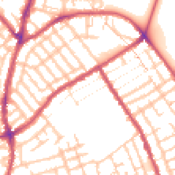
Daytime· 07:00 – 23:00
53.1dB

Everything within walking distance
Schools, transport stops and scenic spots near this property — 102 points of interest in total.
Beautiful places to visit nearby
Curated scenic spots within reach of this postcode, served by Beautifulplaces.ai. Photography and tagging come from their open dataset.
Common questions
The questions buyers, sellers and homeowners most often ask about 167 Ramsay Road, Waltham Forest, London, E7 9EP. Each answer is also embedded as structured data for search engines.