3 Clove Street, Newham, London, E13 8HS
About 3 Clove Street
3 Clove Street is a mid-terrace house in Newham, London, London (E13 8HS). It has a recorded floor area of 36 m² (around 388 sq ft), construction records dating it to 1976-1982 and council tax band B. The latest certificate (November 2022) shows a C (score 72).
Held since March 1995 — that's 31 years off the open market, well above the local norm. Only one transfer is on record with HM Land Registry, suggesting it has stayed in the same hands for a long time. Today's modelled estimate of £233,000 sits 959.1% above the 1995 sale of £22,000.
Know exactly what you're buying at 3 Clove Street
Before you offer, see what the listing won't tell you, the true value, the red flags and the full history.
Already flagged here
Valuation
against the asking price
Risks
planning & flood
Sold prices
similar homes nearby
Trends
the local market
Energy performance
3 Clove Street's carbon output is low for the local stock.
EPC Rating
Planning history
3 Clove Street has no planning applications on record.
Notable planning nearby
10applications of note in the surrounding area
We flagged 2 things worth checking at 3 Clove Street
Independent checks surfaced things a buyer would want to understand before offering. The report explains each one in full, with the underlying data and what to ask.
- Signs of HMO activity in the area
- Larger development activity nearby
30-day money-back guarantee
Sales history & valuation
3 Clove Street's modelled value sits at over four times its earliest registered sale price (1995).
£233,000
Modelled from EPC, postcode comparables.
£22,000
Recorded with HM Land Registry.
Sales timeline
15 March 1995Most recent
£22,000
Median price across the last 1 sales in E13 8HS: £170,000 (2006–2006).
Nearby sales in E13 8HS
Everything we know about 3 Clove Street, in one report
What it's really worth, what could be wrong, and the planning, sales and area data in full.
What we flagged
- Signs of HMO activity in the area
- Larger development activity nearby

Similar properties nearby
1 Bennett Road, Newham
E13 8SB
1 Cranley Road, Newham
E13 8LY
1 Caraway Close, Newham
E13 8PN
1 Anne Street, Newham
E13 8BX
1 Beatrice Close, Newham
E13 8DN
1 Chenappa Close, Newham
E13 8DY
1 Clove Street, Newham
E13 8HS
1 Alliance Road, Newham
E13 8PL
The neighbourhood at a glance
Reported crime in the wider district is trending notably upward year-on-year.
Crime
7/mo
Rising year-on-year across the wider district.
Nearest stop
0.0 km
Croydon Road (E13) — bus stop.
Closest school
0.2 km
Rokeby School. 86 schools nearby.
Go deeper on the local area
The full report breaks down crime, transport links, schools and air quality in depth.
Road noise across the postcode
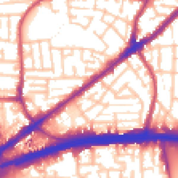
Daytime· 07:00 – 23:00
58.0dB

Night-time· 23:00 – 07:00
48.3dB