18 Atlas Road, Newham, London, E13 0AG
About 18 Atlas Road
18 Atlas Road is a three-bedroom mid-terrace house in Newham, London, London (E13 0AG). It has a recorded floor area of 79 m² (around 850 sq ft), construction records dating it to 1967-1975 and council tax band D. The latest certificate (June 2025) shows a D (score 66), on the cusp of jumping into the C band. When first surveyed in June 2015 the rating was E, the property has climbed 1 band since. Between certificates, hot-water efficiency went from Poor to Good; while window efficiency dropped from Good to Poor and lighting dropped from Good to Poor. The recommended improvements would lift it to B (score 85), a 2-band jump.
Held since September 1998 — that's 28 years off the open market, well above the local norm. Only one transfer is on record with HM Land Registry, suggesting it has stayed in the same hands for a long time. Today's modelled estimate of £454,000 sits 535% above the 1998 sale of £71,500. On a £-per-square-foot basis, the last sale (£84/sq ft) was about 69% below the postcode norm. It lags the bulk of the postcode on energy efficiency (less efficient than 71% of similar EPCs).
Know exactly what you're buying at 18 Atlas Road
Before you offer, see what the listing won't tell you, the true value, the red flags and the full history.
Already flagged here
Valuation
against the asking price
Risks
planning & flood
Sold prices
similar homes nearby
Trends
the local market
What this property has
Inside
- Bedrooms3
- Bathrooms1
- Dining roomYes
Outside
- Private gardenRear
- GarageYes
Building
- Heating systemGas
- RefurbishedYes
Energy performance
Recommended upgrades on file would lift this property by multiple EPC bands.
EPC Rating
Property Improvements
Changes detected from historical EPC data
Hot water system upgraded
Loft insulation upgraded to recommended levels
More low energy lighting installed
Planning history
18 Atlas Road has no planning applications on record.
Notable planning nearby
8applications of note in the surrounding area
We flagged 1 thing worth checking at 18 Atlas Road
Independent checks surfaced things a buyer would want to understand before offering. The report explains each one in full, with the underlying data and what to ask.
- Signs of HMO activity in the area
30-day money-back guarantee
Sales history & valuation
18 Atlas Road's modelled value sits at over four times its earliest registered sale price (1998).
£454,000
Modelled from EPC, postcode comparables.
£71,500
Recorded with HM Land Registry.
Sales timeline
10 September 1998Most recent
£71,500
Median price across the last 5 sales in E13 0AG: £425,000 (2023–2020).
Nearby sales in E13 0AG
Everything we know about 18 Atlas Road, in one report
What it's really worth, what could be wrong, and the planning, sales and area data in full.
What we flagged
- Signs of HMO activity in the area

Versus other Atlas Road homes
18 Atlas Road is notably below the street on price per m².
Price per m²
£905
Street avg £3,706
Floor Area
79 m²
Street avg 78 m²
Habitable Rooms
5 rooms
Street avg 5 rooms
CO₂ Emissions
2.9 t/year
Street avg 2.7 t/year
Similar properties nearby
1 Dimsdale Walk, Newham
E13 0LW
1 Gwendoline Avenue, Newham
E13 0RF
1 Fothergill Close, Newham
E13 0LJ
1 Grasmere Road, Newham
E13 0BA
1 Claude Road, Newham
E13 0QB
1 Juliette Road, Newham
E13 0DL
1 Churston Avenue, Newham
E13 0RJ
1 Grant Street, Newham
E13 0ET
The neighbourhood at a glance
Rail-style transport is unusually close for this postcode.
Crime
7/mo
Rising year-on-year across the wider district.
Nearest stop
0.1 km
Kennedy Close — bus stop.
Closest school
0.1 km
Curwen Primary School. 95 schools nearby.
Go deeper on the local area
The full report breaks down crime, transport links, schools and air quality in depth.
Road noise across the postcode
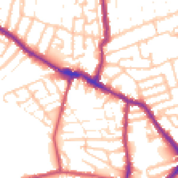
Daytime· 07:00 – 23:00
53.5dB
Night-time· 23:00 – 07:00
43.3dB