10 Atlas Road, Newham, London, E13 0AG
About 10 Atlas Road
10 Atlas Road is a three-bedroom property in Newham, London, London (E13 0AG). It has council tax band C.
It hasn't traded since January 2010, a hold of 16 years that's notably long for the area.
Know exactly what you're buying at 10 Atlas Road
Before you offer, see what the listing won't tell you, the true value, the red flags and the full history.
Already flagged here
Valuation
against the asking price
Risks
planning & flood
Sold prices
similar homes nearby
Trends
the local market
What this property has
Inside
- Bedrooms3
- CloakroomYes
Outside
- Private gardenYes
- GarageYes
Building
- Heating systemGas
Energy performance
No EPC on record
This property doesn't have an Energy Performance Certificate yet. An EPC is required to sell or let — and unlocks our automated valuation.
Planning history
10 Atlas Road has no planning applications on record.
Notable planning nearby
8applications of note in the surrounding area
We flagged 1 thing worth checking at 10 Atlas Road
Independent checks surfaced things a buyer would want to understand before offering. The report explains each one in full, with the underlying data and what to ask.
- Signs of HMO activity in the area
30-day money-back guarantee
Sales history & valuation
£215,000
Recorded with HM Land Registry.
Sales timeline
29 January 2010Most recent
£215,000
Median price across the last 5 sales in E13 0AG: £425,000 (2023–2020).
Nearby sales in E13 0AG
Everything we know about 10 Atlas Road, in one report
What it's really worth, what could be wrong, and the planning, sales and area data in full.
What we flagged
- Signs of HMO activity in the area

Similar properties nearby
1 Gwendoline Avenue, Newham
E13 0RF
1 Fothergill Close, Newham
E13 0LJ
1 Dimsdale Walk, Newham
E13 0LW
1 Claude Road, Newham
E13 0QB
1 Juliette Road, Newham
E13 0DL
1 Grasmere Road, Newham
E13 0BA
1 Antigua Mews, Newham
E13 0BF
1 Beardsfield, Newham
E13 0LD
The neighbourhood at a glance
Rail-style transport is unusually close for this postcode.
Crime
7/mo
Rising year-on-year across the wider district.
Nearest stop
0.1 km
Kennedy Close — bus stop.
Closest school
0.1 km
Curwen Primary School. 95 schools nearby.
Go deeper on the local area
The full report breaks down crime, transport links, schools and air quality in depth.
Road noise across the postcode
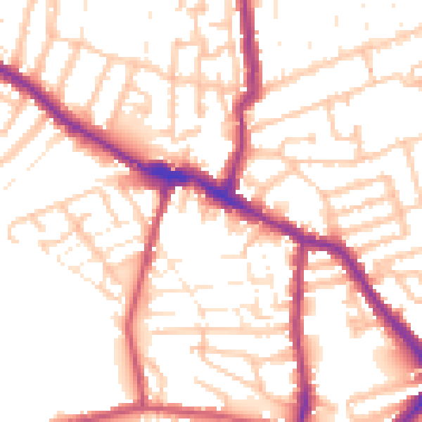
Daytime· 07:00 – 23:00
53.5dB
Night-time· 23:00 – 07:00
43.3dB