68a, Flat 3, Wallwood Road, Waltham Forest, London, E11 1AL
About 68a
68a is an end-of-terrace house in Waltham Forest, London, London (E11 1AL). It has a recorded floor area of 80 m² (around 861 sq ft) and construction records dating it to 1976-1982. At 80 m² this is the largest unit on EPC record across 68a (42–80 m²). The building's EPC ratings span D to C, with this unit at the top. The latest certificate (December 2020) shows a C (score 69), just inside the C band. When first surveyed in June 2009 the rating was D, the property has climbed 1 band since. Between certificates, wall efficiency went from Poor to Average, window efficiency went from Poor to Average and lighting went from Average to Very Good.
At 80 m² it's 29% larger than the typical home in the postcode (62 m² median across 24 EPCs). 2 planning records sit against the property, 1 approved, 1 refused.
Know exactly what you're buying at 68a
Before you offer, see what the listing won't tell you, the true value, the red flags and the full history.
Already flagged here
Valuation
against the asking price
Risks
planning & flood
Sold prices
similar homes nearby
Trends
the local market
Energy performance
EPC Rating
Property Improvements
Changes detected from historical EPC data
Wall insulation upgraded
Windows upgraded, improving insulation
More low energy lighting installed
Planning history
- Jun 2020ConversionFullIn report
Conversion and infill of parking under croft to create a 1 x 2-bedroom flat with associated bin storage, landscaping and parking spaces.
- Council
- LEYTONSTONE
- Documents
- 2 docs on file
- Reference
- 200954
- Nov 2016FullIn report
Installation of security door and formation of 2.4m high brick pier. Provision of six car parking spaces.
- Council
- LEYTONSTONE
- Documents
- 4 docs on file
- Reference
- 160959
We flagged 2 things worth checking at 68a
Independent checks surfaced things a buyer would want to understand before offering. The report explains each one in full, with the underlying data and what to ask.
- Signs of HMO activity in the area
- Larger development activity nearby
30-day money-back guarantee
Sales history & valuation
68a has no Land Registry sales on file, suggesting it has stayed in the same hands since registration began.
£444,000
Modelled from EPC, postcode comparables.
No sales recorded with HM Land Registry
That can mean the property has never traded since the registry began publishing in 1995, was a new build that hasn't been registered yet, or is held in the same hands long-term.
Median price across the last 5 sales in E11 1AL: £840,000 (2025–2018).
Nearby sales in E11 1AL
96 Wallwood Road, Waltham Forest, London, E11 1AL
Sold Jan 2025
£1,050,00092 Wallwood Road, Waltham Forest, London, E11 1AL
Sold Dec 2022
£1,050,00072 Wallwood Road, Waltham Forest, London, E11 1AL
Sold Nov 2022
£780,000106 Wallwood Road, Waltham Forest, London, E11 1AL
Sold Jun 2018
£840,000104 Wallwood Road, Waltham Forest, London, E11 1AL
Sold Jul 2017
£666,000
Everything we know about 68a, in one report
What it's really worth, what could be wrong, and the planning, sales and area data in full.
What we flagged
- Signs of HMO activity in the area
- Larger development activity nearby

Versus other Wallwood Road homes
Floor Area for 68a runs comfortably ahead of the street norm.
EPC Rating
69 (C)
Street avg 67 (D)
Floor Area
80 m²
Street avg 55 m²
CO₂ Emissions
2.9 t/year
Street avg 2.4 t/year
Habitable Rooms
3 rooms
Street avg 3 rooms
Similar properties nearby
2 4, Apartment 1, Forest Drive East, Waltham Forest
E11 1FA
33a, Flat 1, Fladgate Road
E11 1LX
2 4, Apartment 6, Forest Drive East, Waltham Forest
E11 1FA
2 4, Apartment 7, Forest Drive East, Waltham Forest
E11 1FA
139 141, Flat 2, Hainault Road
E11 1DT
2 4, Apartment 3, Forest Drive East, Waltham Forest
E11 1FA
14 15, Flat 4, Church Lane, Waltham Forest
E11 1HG
14 15, Flat 2, Church Lane, Waltham Forest
E11 1HG
The neighbourhood at a glance
Rail-style transport is unusually close for this postcode.
Crime
5/mo
Rising year-on-year across the wider district.
Nearest stop
0.3 km
Clarendon Road (E11) — bus stop.
Closest school
0.2 km
Gwyn Jones Primary School. 61 schools nearby.
Go deeper on the local area
The full report breaks down crime, transport links, schools and air quality in depth.
Road noise across the postcode
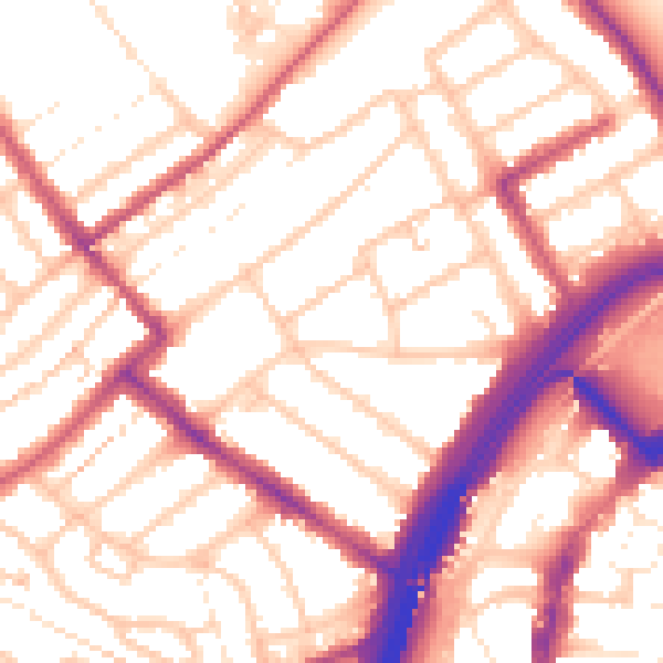
Daytime· 07:00 – 23:00
54.8dB

Night-time· 23:00 – 07:00
44.4dB