3 Chantry Road, Stourton, Stourbridge, DY7 6SA
About 3 Chantry Road
3 Chantry Road is a three-bedroom semi-detached house in Stourton, Stourbridge, Stourbridge (DY7 6SA). It has a recorded floor area of 136 m² (around 1468 sq ft), construction records dating it to 1930-1949 and council tax band D. The latest certificate (January 2011) shows a D (score 61), on the cusp of jumping into the C band. The recommended improvements would push it to C (score 71). The latest certificate is from January 2011, so improvements made since then won't be reflected.
Held since November 2007 — that's 19 years off the open market, well above the local norm. That sale landed at the peak of the pre-credit-crunch market, which is a useful reference point when interpreting the price. Today's modelled estimate of £427,000 is 42.4% above the 2007 sale price.
Know exactly what you're buying at 3 Chantry Road
Before you offer, see what the listing won't tell you, the true value, the red flags and the full history.
Already flagged here
Valuation
against the asking price
Risks
planning & flood
Sold prices
similar homes nearby
Trends
the local market
What this property has
Inside
- Bedrooms3
- Dining roomYes
- StudyYes
Outside
- Private gardenRear
- ParkingOff road
Energy performance
3 Chantry Road's EPC is over a decade old — improvements since won't be reflected.
EPC Expired
This certificate is over 10 years old and is no longer valid.Expired 13 Jan 2021
EPC Rating
Planning history
3 Chantry Road has no planning applications on record.
Notable planning nearby
1applications of note in the surrounding area
We flagged 1 thing worth checking at 3 Chantry Road
Independent checks surfaced things a buyer would want to understand before offering. The report explains each one in full, with the underlying data and what to ask.
- Larger development activity nearby
30-day money-back guarantee
Sales history & valuation
The latest sale landed at the peak of the pre-credit-crunch market — a high-water reference point.
£427,000
Modelled from EPC, postcode comparables.
£299,950
Recorded with HM Land Registry.
Sales timeline
15 November 2007Most recent
£299,950
Median price across the last 5 sales in DY7 6SA: £650,000 (2023–2020).
Nearby sales in DY7 6SA
25a, Chantry Road, Stourton, Stourbridge, DY7 6SA
Sold Apr 2023
£675,0004 Chantry Road, Stourton, Stourbridge, DY7 6SA
Sold Sept 2022
£650,00019 Chantry Road, Stourton, Stourbridge, DY7 6SA
Sold Feb 2022
£685,00023 Chantry Road, Stourton, Stourbridge, DY7 6SA
Sold Aug 2021
£535,00014 Chantry Road, Stourton, Stourbridge, DY7 6SA
Sold Sept 2020
£545,000
Everything we know about 3 Chantry Road, in one report
What it's really worth, what could be wrong, and the planning, sales and area data in full.
What we flagged
- Larger development activity nearby

Versus other Chantry Road homes
On co₂ emissions, 3 Chantry Road stands well clear of the street.
Price per m²
£2,199
Street avg £2,545
Floor Area
136 m²
Street avg 227 m²
Habitable Rooms
6 rooms
Street avg 7 rooms
CO₂ Emissions
5.7 t/year
Street avg 15.0 t/year
Similar properties nearby
1 Dunsley Hall Farm Barns, Dunsley Road, Kinver
DY7 6LU
1 Cedar Gardens, Kinver
DY7 6BW
1 Chestnut Grove, Kinver
DY7 6DQ
1 Compton Gardens, Kinver
DY7 6DS
1 Enville Road, Kinver
DY7 6AB
1 Compton Close, Kinver
DY7 6DW
1 Brockleys Walk, Kinver
DY7 6JT
1 Fairfield Drive, Kinver
DY7 6EW
The neighbourhood at a glance
Daytime road noise here sits well below conversation level — a quiet pocket of the postcode.
Crime
3/mo
Steady year-on-year across the wider district.
Nearest stop
0.3 km
Prestwood Drive — bus stop.
Closest school
0.6 km
St James's CofE Primary School. 18 schools nearby.
Go deeper on the local area
The full report breaks down crime, transport links, schools and air quality in depth.
Road noise across the postcode
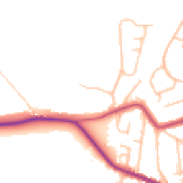
Daytime· 07:00 – 23:00
47.6dB

Night-time· 23:00 – 07:00
40.2dB