14 Chantry Road, Stourton, Stourbridge, DY7 6SA
About 14 Chantry Road
14 Chantry Road is a five-bedroom detached house in Stourton, Stourbridge, Stourbridge (DY7 6SA). It has a recorded floor area of 167 m² (around 1802 sq ft), construction records dating it to 1950-1966 and council tax band F. The latest certificate (July 2011) shows a D (score 59), a step below the typical UK home. The latest certificate is from July 2011, so improvements made since then won't be reflected.
One planning record on file: an extension approved in 2021. Past consents include an extension, meaningful when judging how the property has evolved. Today's modelled estimate of £636,000 is 16.7% above the 2020 sale price. On a £-per-square-foot basis, the last sale (£302/sq ft) was about 48% above the typical sold price in the postcode. Most recent transfer: September 2020 at £545,000.
Know exactly what you're buying at 14 Chantry Road
Before you offer, see what the listing won't tell you, the true value, the red flags and the full history.
Already flagged here
Valuation
against the asking price
Risks
planning & flood
Sold prices
similar homes nearby
Trends
the local market
What this property has
Inside
- Bedrooms5
- Bathrooms2
- Dining roomYes
- EnsuiteYes
Outside
- Private gardenRear
- GarageYes
Energy performance
14 Chantry Road's carbon output runs well above what efficient homes in the postcode produce.
EPC Expired
This certificate is over 10 years old and is no longer valid.Expired 18 Jul 2021
EPC Rating
Planning history
- Oct 2021ExtensionFullIn report
Extension: Single storey · Rear of property
Proposed Single Storey Rear Extension Proposed Demolition Of Existing Full Length Garage And Then Rebuild As Garage With Storey Over
- Documents
- 13 docs on file
- Reference
- 21/00352/FUL
We flagged 1 thing worth checking at 14 Chantry Road
Independent checks surfaced things a buyer would want to understand before offering. The report explains each one in full, with the underlying data and what to ask.
- Larger development activity nearby
30-day money-back guarantee
Sales history & valuation
The latest sale landed in the post-pandemic price surge — useful context when reading the figure.
£636,000
Modelled from EPC, postcode comparables.
£545,000
Recorded with HM Land Registry.
Sales timeline
20 September 2020Most recent
£545,000
Median price across the last 5 sales in DY7 6SA: £650,000 (2023–2019).
Nearby sales in DY7 6SA
25a, Chantry Road, Stourton, Stourbridge, DY7 6SA
Sold Apr 2023
£675,0004 Chantry Road, Stourton, Stourbridge, DY7 6SA
Sold Sept 2022
£650,00019 Chantry Road, Stourton, Stourbridge, DY7 6SA
Sold Feb 2022
£685,00023 Chantry Road, Stourton, Stourbridge, DY7 6SA
Sold Aug 2021
£535,00024 Chantry Road, Stourton, Stourbridge, DY7 6SA
Sold Aug 2019
£8,000
Everything we know about 14 Chantry Road, in one report
What it's really worth, what could be wrong, and the planning, sales and area data in full.
What we flagged
- Larger development activity nearby

Versus other Chantry Road homes
14 Chantry Road outperforms the street on price per m² by a wide margin.
Price per m²
£3,255
Street avg £2,428
Floor Area
167 m²
Street avg 224 m²
Habitable Rooms
9 rooms
Street avg 7 rooms
CO₂ Emissions
8.2 t/year
Street avg 14.7 t/year
Similar properties nearby
1 Church Hill Barns, Church Hill, Kinver
DY7 6HX
1 Edge Hill, Kinver
DY7 6DP
1 Fairfield Drive, Kinver
DY7 6EW
1 Compton Close, Kinver
DY7 6DW
1 Enville Road, Kinver
DY7 6AB
1 Dunsley Hall Farm Barns, Dunsley Road, Kinver
DY7 6LU
1 Cedar Vale, Kinver
DY7 6FB
1 Cedar Gardens, Kinver
DY7 6BW
The neighbourhood at a glance
Daytime road noise here sits well below conversation level — a quiet pocket of the postcode.
Crime
3/mo
Steady year-on-year across the wider district.
Nearest stop
0.3 km
Prestwood Drive — bus stop.
Closest school
0.6 km
St James's CofE Primary School. 18 schools nearby.
Go deeper on the local area
The full report breaks down crime, transport links, schools and air quality in depth.
Road noise across the postcode
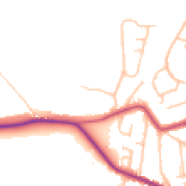
Daytime· 07:00 – 23:00
47.6dB

Night-time· 23:00 – 07:00
40.2dB