23 Leveson Drive, Tipton, DY4 9TD
About 23 Leveson Drive
23 Leveson Drive is a three-bedroom mid-terrace house in Tipton (DY4 9TD). It has a recorded floor area of 65 m² (around 700 sq ft), construction records dating it to 1996-2002 and council tax band B. The latest certificate (September 2021) shows a C (score 70). The recommended improvements would push it to B (score 85).
Across 1998–2022, sale prices on this property compounded at 5.2% per year. Today's modelled estimate of £205,000 is 20.6% above the 2022 sale price. On a £-per-square-foot basis, the last sale (£243/sq ft) was about 119.2% above the typical sold price in the postcode. Sold December 2022 for £170,000. That sale was during the post-pandemic price surge, when transactions cleared materially above pre-2020 trend.
What this property has
Inside
- Bedrooms3
- Bathrooms1
- Dining roomYes
Building
- Heating systemGas
Everything you need to know about 23 Leveson Drive
The true value, the hidden risks and the full sale history, in one report.
30-day money-back guarantee

The data behind every report


Energy performance
EPC Rating
Planning history
23 Leveson Drive has no planning applications on record.
Notable planning nearby
3applications of note in the surrounding area
We flagged 1 thing worth checking at 23 Leveson Drive
Independent checks surfaced things a buyer would want to understand before offering. The report explains each one in full, with the underlying data and what to ask.
- Larger development activity nearby
30-day money-back guarantee
Sales history & valuation
23 Leveson Drive has more than tripled in price since its earliest registered sale in 1998.
£205,000
Modelled from EPC, postcode comparables and a sale-price growth of 5.2% per year over 25 years.
£170,000
Growth on file: 5.2% per year over 25 years.
Sales timeline
16 December 2022Most recent
£170,000
+109.9%over 19 years28 September 2003
£81,000
+65.5%over 5 years25 March 1998
£48,950
Median price across the last 5 sales in DY4 9TD: £195,000 (2025–2020).
Versus other Leveson Drive homes
Years Held for 23 Leveson Drive lags the street by a wide margin.
Price per m²
£2,615
Street avg £1,874
Floor Area
65 m²
Street avg 65 m²
Habitable Rooms
5 rooms
Street avg 4 rooms
CO₂ Emissions
2.5 t/year
Street avg 2.7 t/year
Everything you need to know about 23 Leveson Drive
The true value, the hidden risks and the full sale history, in one report.
30-day money-back guarantee
The data behind every report
Similar properties nearby
The neighbourhood at a glance
Rail-style transport is unusually close for this postcode.
Crime
13/mo
Rising year-on-year across the wider district.
Nearest stop
0.5 km
Tipton Rail Station — railway station.
Closest school
0.5 km
St Pauls Church of England Academy. 36 schools nearby.
Go deeper on the local area
The full report breaks down crime, transport links, schools and air quality in depth.
Road noise across the postcode
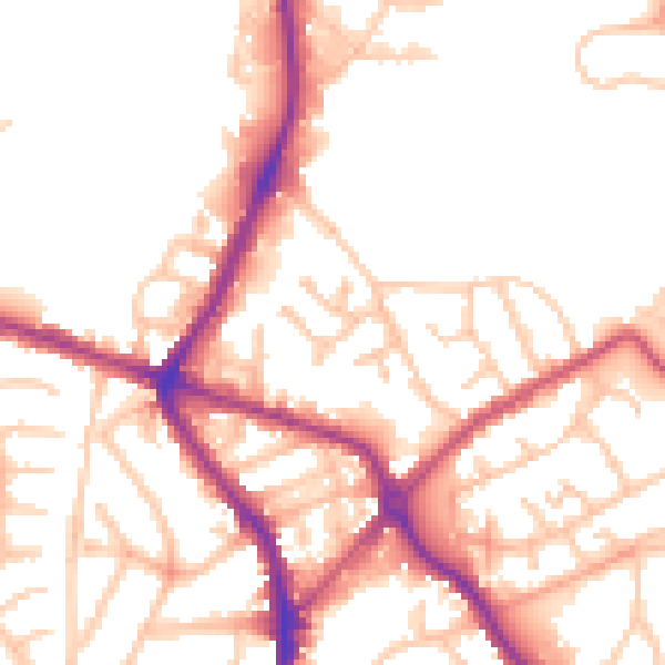
Daytime· 07:00 – 23:00
52.8dB

Night-time· 23:00 – 07:00
43.8dB