22 Cecil Terrace, Tipton, DY4 9BF
About 22 Cecil Terrace
22 Cecil Terrace is a semi-detached house in Tipton (DY4 9BF). It has a recorded floor area of 84 m² (around 904 sq ft). The latest certificate (November 2017) returns a B (score 84), comfortably above the UK average. The recommended improvements would push it to A (score 95).
Last changed hands 8 years ago, in April 2018. Today's modelled estimate of £236,000 is 34.9% above the 2018 sale price. One historical planning record sits against the property in 2024.
Know exactly what you're buying at 22 Cecil Terrace
Before you offer, see what the listing won't tell you, the true value, the red flags and the full history.
Already flagged here
Valuation
against the asking price
Risks
planning & flood
Sold prices
similar homes nearby
Trends
the local market
Energy performance
22 Cecil Terrace's carbon output is low for the local stock.
EPC Rating
Planning history
- May 2024ExtensionOutlineIn report
Extension: Single storey · Rear of property
Proposed single storey rear extension measuring: 4.00m L x 3.50m H (2.50m to eaves)
- Documents
- 5 docs on file
- Reference
- PD/24/02670
We flagged 1 thing worth checking at 22 Cecil Terrace
Independent checks surfaced things a buyer would want to understand before offering. The report explains each one in full, with the underlying data and what to ask.
- Larger development activity nearby
30-day money-back guarantee
Sales history & valuation
22 Cecil Terrace valuation sits well clear of the typical sold price in this postcode.
£236,000
Modelled from EPC, postcode comparables.
£174,995
Recorded with HM Land Registry.
Sales timeline
26 April 2018Most recent
£174,995
Median price across the last 5 sales in DY4 9BF: £177,000 (2025–2019).
Everything we know about 22 Cecil Terrace, in one report
What it's really worth, what could be wrong, and the planning, sales and area data in full.
What we flagged
- Larger development activity nearby

Versus other Cecil Terrace homes
Price per m²
£2,083
Street avg £2,110
Floor Area
84 m²
Street avg 81 m²
CO₂ Emissions
1.3 t/year
Street avg 1.3 t/year
Years Held
8 years
Street avg 7 years
Similar properties nearby
The neighbourhood at a glance
Rail-style transport is unusually close for this postcode.
Crime
13/mo
Rising year-on-year across the wider district.
Nearest stop
0.9 km
Tipton Rail Station — railway station.
Closest school
0.7 km
Wallbrook Primary Academy. 32 schools nearby.
Go deeper on the local area
The full report breaks down crime, transport links, schools and air quality in depth.
Road noise across the postcode
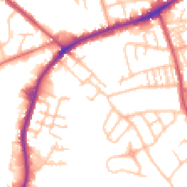
Daytime· 07:00 – 23:00
52.1dB

Night-time· 23:00 – 07:00
42.3dB