9 Leslie Drive, Tipton, DY4 0BA
About 9 Leslie Drive
9 Leslie Drive is a three-bedroom semi-detached house in Tipton (DY4 0BA). It has a recorded floor area of 83 m² (around 893 sq ft), construction records dating it to 1950-1966 and council tax band C. Other recorded features include outbuildings. The home occupies a cul-de-sac position. The latest certificate (October 2024) shows a C (score 72). The recommended improvements would push it to B (score 85).
A recent sale: £235,000 in April 2025. Today's modelled estimate of £267,000 is 13.6% above the 2025 sale price. On a £-per-square-foot basis, the last sale (£263/sq ft) was about 96.3% above the typical sold price in the postcode.
Know exactly what you're buying at 9 Leslie Drive
Before you offer, see what the listing won't tell you, the true value, the red flags and the full history.
Valuation
against the asking price
Risks
planning & flood
Sold prices
similar homes nearby
Trends
the local market
What this property has
Inside
- Bedrooms3
- Bathrooms1
- Dining roomYes
- Utility roomYes
- EnsuiteYes
Outside
- Private gardenRear
- GarageYes
- OutbuildingsYes
- Cul-de-sacYes
Energy performance
EPC Rating
Planning history
9 Leslie Drive has no planning applications on record.
The full report still covers planning activity across the surrounding area.
Sales history & valuation
9 Leslie Drive valuation sits well clear of the typical sold price in this postcode.
£267,000
Modelled from EPC, postcode comparables.
£235,000
Recorded with HM Land Registry.
Sales timeline
9 April 2025Most recent
£235,000
Median price across the last 5 sales in DY4 0BA: £155,000 (2025–2013).
Everything we know about 9 Leslie Drive, in one report
What it's really worth, what could be wrong, and the planning, sales and area data in full.
- Am I paying too much?
- Is something wrong with it?
- Is the agent's story true?
- Will it hold its value?

Versus other Leslie Drive homes
9 Leslie Drive is notably below the street on years held.
Price per m²
£2,831
Street avg £1,753
Floor Area
83 m²
Street avg 82 m²
Habitable Rooms
5 rooms
Street avg 4 rooms
CO₂ Emissions
2.8 t/year
Street avg 3.6 t/year
Similar properties nearby
1 Arthur Road
DY4 0NQ
1 Catherton Close
DY4 0DQ
1 Bayleys Lane
DY4 0HB
1 Churchill Walk
DY4 0SE
1 Astley Close
DY4 0LT
1 Burns Avenue
DY4 0SD
1 Burkitt Drive
DY4 0QE
1 Arthur Jones Close
DY4 0WF
The neighbourhood at a glance
Reported crime in the wider district is trending notably upward year-on-year.
Crime
13/mo
Rising year-on-year across the wider district.
Nearest stop
1.0 km
Bradley Lane (West Midlands Metro) — subway entrance.
Closest school
0.3 km
Wednesbury Oak Academy. 37 schools nearby.
Go deeper on the local area
The full report breaks down crime, transport links, schools and air quality in depth.
Road noise across the postcode
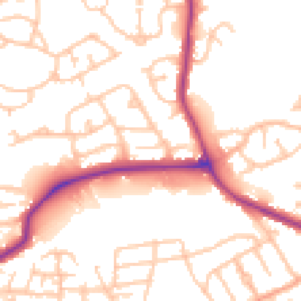
Daytime· 07:00 – 23:00
52.7dB

Night-time· 23:00 – 07:00
42.8dB