14a, Highland Road, Weymouth, DT4 0BG
About 14a
14a is a mid-terrace house in Weymouth (DT4 0BG). It has a recorded floor area of 54 m² (around 581 sq ft), construction records dating it to 1900-1929 and council tax band A. At 54 m² this is the 2nd smallest of 23 units on EPC record in the building, where floor areas span 47–126 m². The building's EPC ratings span F to C across 23 units on file. The latest certificate (September 2022) shows a D (score 67), on the cusp of jumping into the C band. The recommended improvements would push it to C (score 72).
Untraded for 29 years, with the last transfer in March 1997. Only one transfer is on record with HM Land Registry, suggesting it has stayed in the same hands for a long time. Today's modelled estimate of £144,000 sits 350% above the 1997 sale of £32,000. On a £-per-square-foot basis, the last sale (£55/sq ft) was about 73.2% below the postcode norm. At 54 m² it's 28.9% smaller than the typical home in the postcode (76 m² median across 22 EPCs).
Know exactly what you're buying at 14a
Before you offer, see what the listing won't tell you, the true value, the red flags and the full history.
Valuation
against the asking price
Risks
planning & flood
Sold prices
similar homes nearby
Trends
the local market
Energy performance
EPC Rating
Planning history
14a has no planning applications on record.
The full report still covers planning activity across the surrounding area.
Sales history & valuation
Latest sale on 14a was the lowest on Land Registry record across the postcode.
£144,000
Modelled from EPC, postcode comparables.
£32,000
Recorded with HM Land Registry.
Sales timeline
19 March 1997Most recent
£32,000
Median price across the last 5 sales in DT4 0BG: £240,000 (2023–2021).
Nearby sales in DT4 0BG
Everything we know about 14a, in one report
What it's really worth, what could be wrong, and the planning, sales and area data in full.
- Am I paying too much?
- Is something wrong with it?
- Is the agent's story true?
- Will it hold its value?

Similar properties nearby
The neighbourhood at a glance
Crime
7/mo
Steady year-on-year across the wider district.
Nearest stop
0.2 km
Cromwell Road — bus stop.
Closest school
0.2 km
Beechcroft St Paul's CofE Primary School. 13 schools nearby.
Go deeper on the local area
The full report breaks down crime, transport links, schools and air quality in depth.
Road noise across the postcode
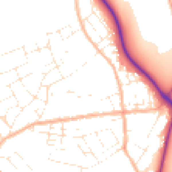
Daytime· 07:00 – 23:00
50.7dB

Night-time· 23:00 – 07:00
40.5dB