5 Fieldfare Close, Weymouth, DT3 5QX
About 5 Fieldfare Close
5 Fieldfare Close is a semi-detached house in Weymouth (DT3 5QX). It has a recorded floor area of 45 m² (around 484 sq ft), construction records dating it to 1983-1990 and council tax band B. The latest certificate (July 2024) shows a C (score 74). The recommended improvements would lift it to A (score 92), a 2-band jump.
It hasn't traded since November 1997, a hold of 29 years that's notably long for the area. Only one transfer is on record with HM Land Registry, suggesting it has stayed in the same hands for a long time. Today's modelled estimate of £213,000 sits 401.2% above the 1997 sale of £42,500. On a £-per-square-foot basis, the last sale (£88/sq ft) was about 63.5% below the postcode norm.
Everything you need to know about 5 Fieldfare Close
The true value, the hidden risks and the full sale history, in one report.
30-day money-back guarantee

The data behind every report


Energy performance
5 Fieldfare Close's carbon output is low for the local stock.
EPC Rating
Planning history
5 Fieldfare Close has no planning applications on record.
Notable planning nearby
5applications of note in the surrounding area
We flagged 1 thing worth checking at 5 Fieldfare Close
Independent checks surfaced things a buyer would want to understand before offering. The report explains each one in full, with the underlying data and what to ask.
- Larger development activity nearby
30-day money-back guarantee
Sales history & valuation
5 Fieldfare Close's modelled value sits at over four times its earliest registered sale price (1997).
£213,000
Modelled from EPC, postcode comparables.
£42,500
Recorded with HM Land Registry.
Sales timeline
10 November 1997Most recent
£42,500
Median price across the last 5 sales in DT3 5QX: £228,000 (2025–2022).
Nearby sales in DT3 5QX
Versus other Fieldfare Close homes
5 Fieldfare Close outperforms the street on epc rating by a wide margin.
Price per m²
£944
Street avg £3,370
Floor Area
45 m²
Street avg 47 m²
Habitable Rooms
5 rooms
Street avg 3 rooms
CO₂ Emissions
1.4 t/year
Street avg 2.1 t/year
Everything you need to know about 5 Fieldfare Close
The true value, the hidden risks and the full sale history, in one report.
30-day money-back guarantee
The data behind every report
Similar properties nearby
The neighbourhood at a glance
Rail-style transport is unusually close for this postcode.
Crime
1/mo
Steady year-on-year across the wider district.
Nearest stop
0.2 km
Turnstone Close — bus stop.
Closest school
0.8 km
St Nicholas and St Laurence Church of England Primary School. 8 schools nearby.
Go deeper on the local area
The full report breaks down crime, transport links, schools and air quality in depth.
Road noise across the postcode
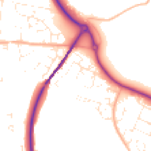
Daytime· 07:00 – 23:00
51.5dB

Night-time· 23:00 – 07:00
42.7dB