36 Fieldfare Close, Weymouth, DT3 5QX
About 36 Fieldfare Close
36 Fieldfare Close is a mid-terrace house in Weymouth (DT3 5QX). It has a recorded floor area of 45 m² (around 484 sq ft), construction records dating it to 1991-1995 and council tax band B. The latest certificate (April 2015) shows a D (score 66), on the cusp of jumping into the C band. The recommended improvements would lift it to B (score 87), a 2-band jump. The latest certificate is from April 2015, so improvements made since then won't be reflected.
It changed hands recently, sold March 2025 for £200,000. Across 1998–2025, sale prices on this property compounded at 5.5% per year. On a £-per-square-foot basis, the last sale (£413/sq ft) was about 79.7% above the typical sold price in the postcode.
Everything you need to know about 36 Fieldfare Close
The true value, the hidden risks and the full sale history, in one report.
30-day money-back guarantee

The data behind every report


Energy performance
Recommended upgrades on file would lift this property by multiple EPC bands.
EPC Expired
This certificate is over 10 years old and is no longer valid.Expired 24 Apr 2025
EPC Rating
Planning history
36 Fieldfare Close has no planning applications on record.
Notable planning nearby
5applications of note in the surrounding area
We flagged 1 thing worth checking at 36 Fieldfare Close
Independent checks surfaced things a buyer would want to understand before offering. The report explains each one in full, with the underlying data and what to ask.
- Larger development activity nearby
30-day money-back guarantee
Sales history & valuation
Price for 36 Fieldfare Close has grown more than fourfold since the 1998 starting point.
£213,000
Modelled from EPC, postcode comparables and a sale-price growth of 5.5% per year over 27 years.
£200,000
Growth on file: 5.5% per year over 27 years.
Sales timeline
21 March 2025Most recent
£200,000
+29.0%over 8 years21 March 2016
£155,000
+9.2%15 January 2016
£141,900
+121.9%over 15 years3 August 2000
£63,950
+31.9%over 1 year27 August 1998
£48,500
Median price across the last 5 sales in DT3 5QX: £228,000 (2023–2021).
Nearby sales in DT3 5QX
Versus other Fieldfare Close homes
36 Fieldfare Close is notably below the street on years held.
Price per m²
£4,444
Street avg £3,186
Floor Area
45 m²
Street avg 47 m²
Habitable Rooms
3 rooms
Street avg 3 rooms
CO₂ Emissions
2.0 t/year
Street avg 2.1 t/year
Everything you need to know about 36 Fieldfare Close
The true value, the hidden risks and the full sale history, in one report.
30-day money-back guarantee
The data behind every report
Similar properties nearby
The neighbourhood at a glance
Rail-style transport is unusually close for this postcode.
Crime
1/mo
Steady year-on-year across the wider district.
Nearest stop
0.2 km
Turnstone Close — bus stop.
Closest school
0.8 km
St Nicholas and St Laurence Church of England Primary School. 8 schools nearby.
Go deeper on the local area
The full report breaks down crime, transport links, schools and air quality in depth.
Road noise across the postcode
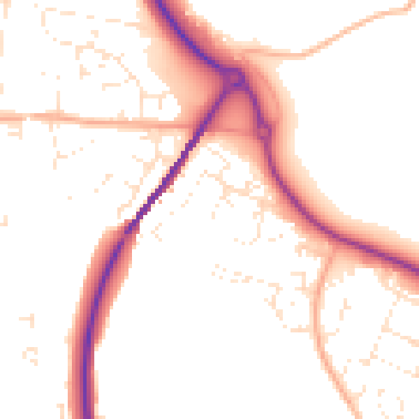
Daytime· 07:00 – 23:00
51.5dB

Night-time· 23:00 – 07:00
42.7dB