17 Lower Pasture, Blaxton, Doncaster, DN9 3RF
About 17 Lower Pasture
17 Lower Pasture is a four-bedroom detached house in Blaxton, Doncaster, Doncaster (DN9 3RF). It has a recorded floor area of 254 m² (around 2734 sq ft), construction records dating it to 1996-2002 and council tax band E. The latest certificate (July 2025) shows a C (score 72). When first surveyed in November 2013 the rating was D, the property has climbed 1 band since. Between certificates, roof efficiency went from Poor to Good and lighting went from Average to Good. Records show the property has been extended at some point in its history. The home occupies a cul-de-sac position.
At 254 m² the property is well over the postcode median (139 m² across 34 EPCs), placing it in the larger end of the local stock. Across 2000–2014, sale prices on this property compounded at 5.1% per year. Today's modelled estimate of £443,000 sits 88.5% above the 2014 sale of £235,000. On a £-per-square-foot basis, the last sale (£86/sq ft) was about 25.1% below the postcode norm. Last sold in August 2014, so it's been off the market for around 12 years. Across the public record there are 4 sales, relatively high churn for a single property.
Know exactly what you're buying at 17 Lower Pasture
Before you offer, see what the listing won't tell you, the true value, the red flags and the full history.
Already flagged here
Valuation
against the asking price
Risks
planning & flood
Sold prices
similar homes nearby
Trends
the local market
What this property has
Inside
- Bedrooms4
- Bathrooms2
- Open-plan layoutYes
- Dining roomYes
- EnsuiteYes
Outside
- Private gardenRear
- GarageDouble
- Cul-de-sacYes
Building
- Previously extendedYes
- RefurbishedYes
Energy performance
17 Lower Pasture's carbon output runs well above what efficient homes in the postcode produce.
EPC Rating
Property Improvements
Changes detected from historical EPC data
Roof insulation improved
More low energy lighting installed
Planning history
17 Lower Pasture has no planning applications on record.
Notable planning nearby
14applications of note in the surrounding area
We flagged 1 thing worth checking at 17 Lower Pasture
Independent checks surfaced things a buyer would want to understand before offering. The report explains each one in full, with the underlying data and what to ask.
- Larger development activity nearby
30-day money-back guarantee
Sales history & valuation
17 Lower Pasture has more than doubled in price since the earliest registered sale in 2000.
£443,000
Modelled from EPC, postcode comparables and a sale-price growth of 5.1% per year over 15 years.
£235,000
Growth on file: 5.1% per year over 15 years.
Sales timeline
17 August 2014Most recent
£235,000
+70.9%over 12 years8 April 2002
£137,500
+10.0%over 11 months17 May 2001
£125,000
+9.7%over 1 year28 January 2000
£113,950
Median price across the last 5 sales in DN9 3RF: £375,000 (2025–2024).
Nearby sales in DN9 3RF
5 Lower Pasture, Blaxton, Doncaster, DN9 3RF
Sold Jun 2025
£380,00019 Lower Pasture, Blaxton, Doncaster, DN9 3RF
Sold May 2025
£375,00018 Lower Pasture, Blaxton, Doncaster, DN9 3RF
Sold Apr 2025
£375,00059 Lower Pasture, Blaxton, Doncaster, DN9 3RF
Sold Mar 2025
£355,00041 Lower Pasture, Blaxton, Doncaster, DN9 3RF
Sold Aug 2024
£407,000
Everything we know about 17 Lower Pasture, in one report
What it's really worth, what could be wrong, and the planning, sales and area data in full.
What we flagged
- Larger development activity nearby

Versus other Lower Pasture homes
17 Lower Pasture outperforms the street on floor area by a wide margin.
Price per m²
£925
Street avg £1,756
Floor Area
254 m²
Street avg 141 m²
Habitable Rooms
7 rooms
Street avg 7 rooms
CO₂ Emissions
7.5 t/year
Street avg 5.0 t/year
Similar properties nearby
1 Beckfield Rise, Auckley
DN9 3FP
1 Avro Way, Blaxton
DN9 3QX
1 Blenheim Drive, Finningley
DN9 3QF
1 Anson Grove, Auckley
DN9 3QN
1 Briar Close, Auckley
DN9 3LY
1 Chapel Close, Finningley
DN9 3DL
1 Beech Avenue, Auckley
DN9 3LS
1 Ash Grove, Auckley
DN9 3LN
The neighbourhood at a glance
Daytime road noise here sits well below conversation level — a quiet pocket of the postcode.
Crime
2/mo
Steady year-on-year across the wider district.
Nearest stop
0.2 km
Station Road/Station Close — bus stop.
Closest school
0.4 km
St Oswald's CofE Academy. 5 schools nearby.
Go deeper on the local area
The full report breaks down crime, transport links, schools and air quality in depth.
Road noise across the postcode
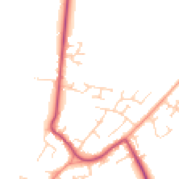
Daytime· 07:00 – 23:00
47.8dB
Night-time· 23:00 – 07:00
40.6dB