3 Centurion Fields, Doncaster, DN4 7EN
About 3 Centurion Fields
3 Centurion Fields is a detached house in Doncaster (DN4 7EN). It has a recorded floor area of 176 m² (around 1898 sq ft) and council tax band F. The latest certificate (March 2010) shows a C (score 79), near the top of the C band. The recommended improvements would push it to B (score 81). The latest certificate is from March 2010, so improvements made since then won't be reflected.
Held since March 2010 — that's 16 years off the open market, well above the local norm. Today's modelled estimate of £457,000 sits 63.2% above the 2010 sale of £280,000. On a £-per-square-foot basis, the last sale (£148/sq ft) was about 20% below the postcode norm. One historical planning record sits against the property in 2010. The record references conservation-area consent, which constrain future alterations.
Everything you need to know about 3 Centurion Fields
The true value, the hidden risks and the full sale history, in one report.
30-day money-back guarantee

The data behind every report


Energy performance
3 Centurion Fields's EPC is over a decade old — improvements since won't be reflected.
EPC Expired
This certificate is over 10 years old and is no longer valid.Expired 03 Mar 2020
EPC Rating
Planning history
3 Centurion Fields sits within a conservation area — exterior works face additional planning controls.
- Jun 2010Tree WorksTreesIn report
Conservation area Notification to remove and replace one Silver Birch and to remove one Lawson Cypress tree; trees being within the Bessacarr Conservation Area
Conservation Area- Reference
- 10/01213/TCON
What's in 3 Centurion Fields, Doncaster, DN4 7EN's planning history?
Refusals, disputes and full decisions on this property and nearby, in the report.
Sales history & valuation
Latest sale on 3 Centurion Fields was the lowest on Land Registry record across the postcode.
£457,000
Modelled from EPC, postcode comparables.
£280,000
Recorded with HM Land Registry.
Sales timeline
30 March 2010Most recent
£280,000
Median price across the last 5 sales in DN4 7EN: £435,000 (2024–2019).
Nearby sales in DN4 7EN
Versus other Centurion Fields homes
On price per m², 3 Centurion Fields runs well behind the street norm.
Price per m²
£1,588
Street avg £2,026
Floor Area
176 m²
Street avg 202 m²
CO₂ Emissions
3.7 t/year
Street avg 4.3 t/year
Years Held
16 years
Street avg 11 years
Everything you need to know about 3 Centurion Fields
The true value, the hidden risks and the full sale history, in one report.
30-day money-back guarantee
The data behind every report
Similar properties nearby
The neighbourhood at a glance
Reported crime in the wider district is trending notably upward year-on-year.
Crime
5/mo
Rising year-on-year across the wider district.
Nearest stop
0.2 km
Bawtry Road/Alston Road — bus stop.
Closest school
0.4 km
Willow Primary School. 13 schools nearby.
Go deeper on the local area
The full report breaks down crime, transport links, schools and air quality in depth.
Road noise across the postcode
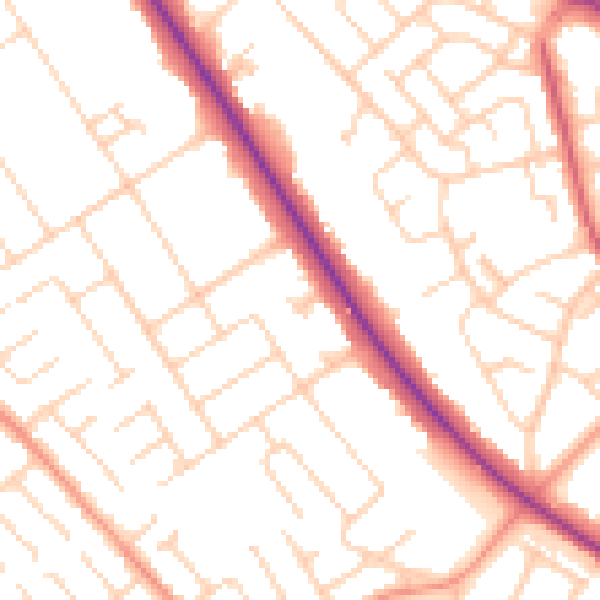
Daytime· 07:00 – 23:00
52.0dB

Night-time· 23:00 – 07:00
41.8dB