7 Bentley Street, Cleethorpes, DN35 8DL
About 7 Bentley Street
7 Bentley Street is a three-bedroom mid-terrace house in Cleethorpes (DN35 8DL). It has a recorded floor area of 87 m² (around 936 sq ft), construction records dating it to 1900-1929 and council tax band A. The latest certificate (April 2025) shows a C (score 69), just inside the C band. When first surveyed in November 2008 the rating was E, the property has climbed 2 bands since. Between certificates, lighting went from Very Poor to Very Good. The recommended improvements would push it to B (score 87). The home occupies a cul-de-sac position.
It hasn't traded since May 2009, a hold of 17 years that's notably long for the area. Across the public record there are 4 sales, relatively high churn for a single property. That sale fell during the post-crash dip, which often skews comparisons against later neighbouring sales. On energy efficiency it sits in the top 10% of properties in this postcode. Across 1996–2009, sale prices on this property compounded at 7.6% per year. Today's modelled estimate of £116,000 is 45% above the 2009 sale price. On a £-per-square-foot basis, the last sale (£85/sq ft) was about 23% above the typical sold price in the postcode.
Know exactly what you're buying at 7 Bentley Street
Before you offer, see what the listing won't tell you, the true value, the red flags and the full history.
Already flagged here
Valuation
against the asking price
Risks
planning & flood
Sold prices
similar homes nearby
Trends
the local market
What this property has
Inside
- Bedrooms3
- Dining roomYes
Outside
- Cul-de-sacYes
Building
- Heating systemGas
- RefurbishedYes
Energy performance
7 Bentley Street ranks among the most efficient homes in the postcode for energy use.
EPC Rating
Property Improvements
Changes detected from historical EPC data
Heating controls upgraded for better temperature management
More low energy lighting installed
Planning history
7 Bentley Street has no planning applications on record.
Notable planning nearby
12applications of note in the surrounding area
We flagged 1 thing worth checking at 7 Bentley Street
Independent checks surfaced things a buyer would want to understand before offering. The report explains each one in full, with the underlying data and what to ask.
- Signs of HMO activity in the area
30-day money-back guarantee
Sales history & valuation
7 Bentley Street has more than doubled in price since the earliest registered sale in 1996.
£116,000
Modelled from EPC, postcode comparables and a sale-price growth of 7.6% per year over 13 years.
£80,000
Growth on file: 7.6% per year over 13 years.
Sales timeline
13 May 2009Most recent
£80,000
+21.2%over 5 years4 June 2003
£66,000
+32.1%over 11 months30 June 2002
£49,950
+61.4%over 6 years16 May 1996
£30,950
Median price across the last 5 sales in DN35 8DL: £115,000 (2025–2024).
Nearby sales in DN35 8DL
41 Bentley Street, Cleethorpes, DN35 8DL
Sold Apr 2025
£97,50069 Bentley Street, Cleethorpes, DN35 8DL
Sold Mar 2025
£118,00043 Bentley Street, Cleethorpes, DN35 8DL
Sold Nov 2024
£115,00045 Bentley Street, Cleethorpes, DN35 8DL
Sold Sept 2024
£115,00035 Bentley Street, Cleethorpes, DN35 8DL
Sold Jun 2024
£125,750
Everything we know about 7 Bentley Street, in one report
What it's really worth, what could be wrong, and the planning, sales and area data in full.
What we flagged
- Signs of HMO activity in the area

Versus other Bentley Street homes
EPC Rating for 7 Bentley Street runs comfortably ahead of the street norm.
Price per m²
£920
Street avg £921
Floor Area
87 m²
Street avg 97 m²
Habitable Rooms
5 rooms
Street avg 5 rooms
CO₂ Emissions
3.4 t/year
Street avg 5.3 t/year
Similar properties nearby
1 Edward Street
DN35 8PS
1 Fairview Avenue
DN35 8DH
1 Charles Street
DN35 8QB
1 Elm Gardens
DN35 8DB
1 Clumber Place
DN35 8PF
1 Falcon Mews
DN35 8RY
1 George Street
DN35 8PX
1 Albermarle Court
DN35 8JF
The neighbourhood at a glance
Rail-style transport is unusually close for this postcode.
Crime
5/mo
Steady year-on-year across the wider district.
Nearest stop
0.1 km
Isaacs Hill — bus stop.
Closest school
0.3 km
St Peter's CofE Primary School. 20 schools nearby.
Go deeper on the local area
The full report breaks down crime, transport links, schools and air quality in depth.
Road noise across the postcode
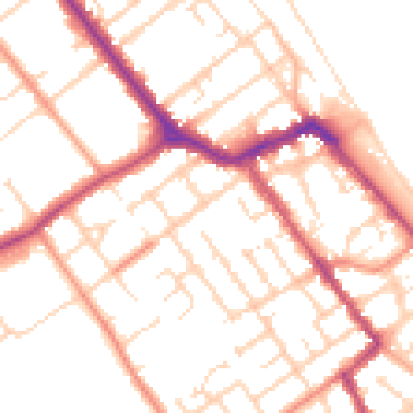
Daytime· 07:00 – 23:00
51.5dB

Night-time· 23:00 – 07:00
41.3dB