2 Croftson Terrace, Sidsaph Hill, Walkeringham, Doncaster, DN10 4HS
About 2 Croftson Terrace
2 Croftson Terrace is a two-bedroom mid-terrace house in Walkeringham, Doncaster, Doncaster (DN10 4HS). It has a recorded floor area of 74 m² (around 797 sq ft), construction records dating it to 1900-1929 and council tax band A. The latest certificate (September 2021) shows a D (score 62), on the cusp of jumping into the C band. When first surveyed in August 2012 the rating was E, the property has climbed 1 band since. Between certificates, roof efficiency went from Poor to Good, hot-water efficiency went from Average to Good and lighting went from Very Poor to Very Good; while window efficiency dropped from Good to Average. The recommended improvements would lift it to B (score 84), a 2-band jump.
Most recent transfer: October 2019 at £89,000. Across the public record there are 4 sales, relatively high churn for a single property. Across 1997–2019, sale prices on this property compounded at 4.5% per year. Today's modelled estimate of £128,000 is 43.8% above the 2019 sale price.
What this property has
Inside
- Bedrooms2
- Dining roomYes
Everything you need to know about 2 Croftson Terrace
The true value, the hidden risks and the full sale history, in one report.
Pick your report · every report is £14.99
One time fee only - money back guarantee

The data behind every report


Energy performance
Recommended upgrades on file would lift this property by multiple EPC bands.
EPC Rating
Property Improvements
Changes detected from historical EPC data
Hot water efficiency improved
Windows upgraded, improving insulation
More low energy lighting installed
Loft insulation installed or upgraded to 250mm+
Get a survey for this property
Level 3 Building Survey
Because the property was built before 1919 and has solid (non-cavity) walls, we believe a Level 3 building survey should be considered.
From £820 · Includes VAT
Planning history
2 Croftson Terrace has no planning applications on record.
A planning report still maps activity across the surrounding area and reads this property's extension & conversion potential.
Sales history & valuation
2 Croftson Terrace has more than doubled in price since the earliest registered sale in 1997.
£128,000
Modelled from EPC, postcode comparables and a sale-price growth of 4.5% per year over 22 years.
£89,000
Growth on file: 4.5% per year over 22 years.
Sales timeline
31 October 2019Most recent
£89,000
+18.7%over 5 years24 July 2014
£75,000
+100.0%over 13 years11 April 2001
£37,500
+10.3%over 3 years5 December 1997
£34,000
Median price across the last 5 sales in DN10 4HS: £89,500 (2024–2000).
Versus other Croftson Terrace homes
EPC Rating for 2 Croftson Terrace runs comfortably ahead of the street norm.
EPC Rating
62 (D)
Street avg 43 (E)
Floor Area
74 m²
Street avg 81 m²
CO₂ Emissions
3.8 t/year
Street avg 6.5 t/year
Habitable Rooms
4 rooms
Street avg 4 rooms
Everything you need to know about 2 Croftson Terrace
The true value, the hidden risks and the full sale history, in one report.
Pick your report · every report is £14.99
One time fee only - money back guarantee
The data behind every report
Similar properties nearby
1 Croftson Terrace, Sidsaph Hill, Walkeringham
DN10 4HS
1 Burley Court, North Moor Road, Walkeringham
DN10 4LW
1 Bramley Way, Misterton
DN10 4DY
1 Church Drive, Misterton
DN10 4BJ
1 Chestnut Close, Walkeringham
DN10 4JZ
1 Colton Street, Misterton
DN10 4AB
1 Aegir View, Canal Lane, West Stockwith
DN10 4EX
1 Deerlands Way, Beckingham
DN10 4FW
The neighbourhood at a glance
Daytime road noise here sits well below conversation level — a quiet pocket of the postcode.
Crime
1/mo
Steady year-on-year across the wider district.
Nearest stop
0.1 km
Sidsaph Hill — bus stop.
Closest school
0.4 km
Walkeringham Primary School. 3 schools nearby.
Go deeper on the local area
A Local Area report breaks down crime, transport links, schools and air quality in depth.
Road noise across the postcode
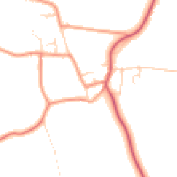
Daytime· 07:00 – 23:00
47.4dB

Night-time· 23:00 – 07:00
38.8dB