4 Byland Close, Durham, DH1 4GY
About 4 Byland Close
4 Byland Close is a semi-detached house in Durham (DH1 4GY). It has a recorded floor area of 62 m² (around 667 sq ft), construction records dating it to 2003-2006 and council tax band D. The latest certificate (June 2023) shows a C (score 70). The rating has held steady at C across 2 certificates since April 2013. Between certificates, wall efficiency went from Good to Very Good; while window efficiency dropped from Very Good to Good and hot-water efficiency dropped from Average to Poor. Main heating runs on electricity. At 62 m² this is the 2nd smallest of 17 units on EPC record in the building, where floor areas span 45–150 m². The building's EPC ratings span D to B across 17 units on file.
At 62 m² it sits well below the postcode median (92 m² across 16 EPCs), making it one of the more compact homes locally. Most recent transfer: October 2022 at £194,000. That sale was during the post-pandemic price surge, when transactions cleared materially above pre-2020 trend.
Everything you need to know about 4 Byland Close
The true value, the hidden risks and the full sale history, in one report.
Pick your report · every report is £14.99
One time fee only - money back guarantee

The data behind every report


Energy performance
EPC Rating
Get a survey for this property
Level 3 Building Survey
Because the property has no mains gas supply, we believe a Level 3 building survey should be considered.
From £820 · Includes VAT
Planning history
4 Byland Close has no planning applications on record.
But the area is active
53 notable applications nearby — larger schemes and conversions that could reshape the street. The report maps them all.
Sales history & valuation
The latest sale landed in the post-pandemic price surge — useful context when reading the figure.
£199,000
Modelled from EPC, postcode comparables and a sale-price growth of -0.1% per year over 9 years.
£194,000
Growth on file: -0.1% per year over 9 years.
Sales timeline
16 October 2022Most recent
£194,000
-0.5%over 9 years30 May 2013
£194,995
Median price across the last 5 sales in DH1 4GY: £300,000 (2025–2016).
Versus other Byland Close homes
Years Held for 4 Byland Close lags the street by a wide margin.
Price per m²
£3,129
Street avg £2,799
Floor Area
62 m²
Street avg 77 m²
Habitable Rooms
3 rooms
Street avg 3 rooms
CO₂ Emissions
2.6 t/year
Street avg 3.3 t/year
Everything you need to know about 4 Byland Close
The true value, the hidden risks and the full sale history, in one report.
Pick your report · every report is £14.99
One time fee only - money back guarantee
The data behind every report
Similar properties nearby
The neighbourhood at a glance
Crime
6/mo
Steady year-on-year across the wider district.
Nearest stop
0.2 km
St Margarets School — bus stop.
Closest school
0.3 km
St Margaret's Church of England Primary School. 19 schools nearby.
Go deeper on the local area
A Local Area report breaks down crime, transport links, schools and air quality in depth.
Road noise across the postcode
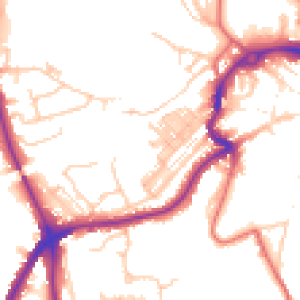
Daytime· 07:00 – 23:00
51.2dB

Night-time· 23:00 – 07:00
42.0dB