6 Chapel Mews, Gilesgate, Durham, DH1 1WB
About 6 Chapel Mews
6 Chapel Mews is a mid-terrace house in Gilesgate, Durham, Durham (DH1 1WB). It has a recorded floor area of 34 m² (around 366 sq ft), construction records dating it to 1900-1929 and council tax band A. The latest certificate (May 2020) shows a D (score 56), a step below the typical UK home. When first surveyed in August 2009 the rating was E, the property has climbed 1 band since. Between certificates, lighting went from Average to Very Good. The recommended improvements would lift it to A (score 92), a 3-band jump.
2 planning records sit against the property, 2 approved, 0 refused. Past consents include an extension, meaningful when judging how the property has evolved.
Everything you need to know about 6 Chapel Mews
The true value, the hidden risks and the full sale history, in one report.
Pick your report · every report is £14.99
One time fee only - money back guarantee

The data behind every report


Energy performance
Recommended upgrades on file would lift this property by multiple EPC bands.
EPC Rating
Property Improvements
Changes detected from historical EPC data
More low energy lighting installed
Get a survey for this property
Level 3 Building Survey
Because the property was built before 1919 and has solid (non-cavity) walls, we believe a Level 3 building survey should be considered.
From £820 · Includes VAT
Planning history
6 Chapel Mews has an approved single-storey extension on the planning record.
2 applications on record at 6 Chapel Mews, Gilesgate, Durham, DH1 1WB
- Jul 2018ExtensionFullOutcome in report
Extension: Single storey
Extension to single storey dwelling to form a second bedroom.
- Documents
- 16 docs on file
- Reference
- DM/18/01704/FPA
- More recent applications — locked
- ConditionsAug 2019Decision
Unlock 6 Chapel Mews, Gilesgate, Durham, DH1 1WB's full planning history
You're seeing the shape of it. The report has the substance.
- Every decision — granted, refused or withdrawn (2 on record)
- All 2 applications on this property in full, plus 72 notable nearby
- The 19 documents, officer reports & conditions
- What the pattern means for extending or converting here
One time fee only - money back guarantee
Sales history & valuation
6 Chapel Mews has no Land Registry sales on file, suggesting it has stayed in the same hands since registration began.
£136,000
Modelled from EPC, postcode comparables.
No sales recorded with HM Land Registry
That can mean the property has never traded since the registry began publishing in 1995, was a new build that hasn't been registered yet, or is held in the same hands long-term.
Median price across the last 5 sales in DH1 1WB: £260,000 (2006–2001).
Everything you need to know about 6 Chapel Mews
The true value, the hidden risks and the full sale history, in one report.
Pick your report · every report is £14.99
One time fee only - money back guarantee
The data behind every report
Similar properties nearby
The neighbourhood at a glance
Crime
6/mo
Steady year-on-year across the wider district.
Nearest stop
0.1 km
Magdalene Street — bus stop.
Closest school
0.6 km
Laurel Avenue Community Primary School. 22 schools nearby.
Go deeper on the local area
A Local Area report breaks down crime, transport links, schools and air quality in depth.
Road noise across the postcode
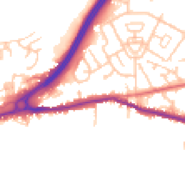
Daytime· 07:00 – 23:00
50.1dB

Night-time· 23:00 – 07:00
41.8dB