1 Green Court, Gilesgate, Durham, DH1 1QB
About 1 Green Court
1 Green Court is a semi-detached house in Gilesgate, Durham, Durham (DH1 1QB). It has a recorded floor area of 55 m² (around 592 sq ft), construction records dating it to 1996-2002 and council tax band A. At 55 m² this is the largest unit on EPC record across the building (42–55 m²). The latest certificate (March 2022) shows a C (score 76), near the top of the C band. The rating has held steady at C across 2 certificates since February 2010. Between certificates, lighting went from Poor to Very Good.
At 55 m² it's 25% larger than the typical home in the postcode (44 m² median across 3 EPCs). Across 2010–2022, sale prices on this property compounded at 1.9% per year. Last sale on file: £100,000 in September 2022. That sale was during the post-pandemic price surge, when transactions cleared materially above pre-2020 trend.
Everything you need to know about 1 Green Court
The true value, the hidden risks and the full sale history, in one report.
Pick your report · every report is £14.99
One time fee only - money back guarantee

The data behind every report


Energy performance
EPC Rating
Property Improvements
Changes detected from historical EPC data
More low energy lighting installed
Get a survey for this property
Level 2 HomeBuyer Report
We've checked 10 risk factors against the available data for this property and believe a Level 2 HomeBuyer Report could be a suitable option for you.
From £495 · Includes VAT
Planning history
1 Green Court has no planning applications on record.
But the area is active
72 notable applications nearby — larger schemes and conversions that could reshape the street. The report maps them all.
Sales history & valuation
The latest sale landed in the post-pandemic price surge — useful context when reading the figure.
£104,000
Modelled from EPC, postcode comparables and a sale-price growth of 1.9% per year over 12 years.
£100,000
Growth on file: 1.9% per year over 12 years.
Sales timeline
29 September 2022Most recent
£100,000
+25.0%over 12 years12 August 2010
£80,000
Median price across the last 1 sales in DH1 1QB: £71,000 (2011–2011).
Nearby sales in DH1 1QB
Versus other Green Court homes
1 Green Court outperforms the street on floor area by a wide margin.
EPC Rating
76 (C)
Street avg 73 (C)
Floor Area
55 m²
Street avg 43 m²
CO₂ Emissions
1.7 t/year
Street avg 1.7 t/year
Habitable Rooms
3 rooms
Street avg 2 rooms
Everything you need to know about 1 Green Court
The true value, the hidden risks and the full sale history, in one report.
Pick your report · every report is £14.99
One time fee only - money back guarantee
The data behind every report
Similar properties nearby
The neighbourhood at a glance
Crime
6/mo
Steady year-on-year across the wider district.
Nearest stop
0.1 km
Sunderland Road — bus stop.
Closest school
0.5 km
Laurel Avenue Community Primary School. 21 schools nearby.
Go deeper on the local area
A Local Area report breaks down crime, transport links, schools and air quality in depth.
Road noise across the postcode
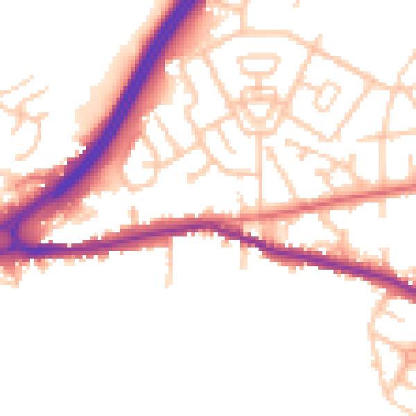
Daytime· 07:00 – 23:00
50.4dB

Night-time· 23:00 – 07:00
41.8dB