3 Barnard Road, Derby, DE21 4FE
About 3 Barnard Road
3 Barnard Road is a three-bedroom semi-detached house in Derby (DE21 4FE). It has a recorded floor area of 84 m² (around 904 sq ft), construction records dating it to 1950-1966 and council tax band A. The latest certificate (April 2019) shows a D (score 56), a step below the typical UK home. The recommended improvements would push it to C (score 71).
Today's modelled estimate of £189,000 sits 54.9% above the 2020 sale of £122,000. Sold March 2020 for £122,000.
Know exactly what you're buying at 3 Barnard Road
Before you offer, see what the listing won't tell you, the true value, the red flags and the full history.
Already flagged here
Valuation
against the asking price
Risks
planning & flood
Sold prices
similar homes nearby
Trends
the local market
What this property has
Inside
- Bedrooms3
- Bathrooms1
- Dining roomYes
- CloakroomYes
Outside
- Private gardenRear
- ParkingOff road
Building
- Heating systemGas
Energy performance
EPC Rating
Planning history
3 Barnard Road has no planning applications on record.
Notable planning nearby
3applications of note in the surrounding area
We flagged 1 thing worth checking at 3 Barnard Road
Independent checks surfaced things a buyer would want to understand before offering. The report explains each one in full, with the underlying data and what to ask.
- Larger development activity nearby
30-day money-back guarantee
Sales history & valuation
The latest sale landed in the post-pandemic price surge — useful context when reading the figure.
£189,000
Modelled from EPC, postcode comparables.
£122,000
Recorded with HM Land Registry.
Sales timeline
4 March 2020Most recent
£122,000
Median price across the last 5 sales in DE21 4FE: £148,000 (2025–2020).
Everything we know about 3 Barnard Road, in one report
What it's really worth, what could be wrong, and the planning, sales and area data in full.
What we flagged
- Larger development activity nearby

Versus other Barnard Road homes
EPC Rating for 3 Barnard Road lags the street by a wide margin.
Price per m²
£1,452
Street avg £1,983
Floor Area
84 m²
Street avg 78 m²
Habitable Rooms
5 rooms
Street avg 4 rooms
CO₂ Emissions
4.4 t/year
Street avg 3.1 t/year
Similar properties nearby
1 Ashover Road, Chaddesden
DE21 4JD
1 Canterbury Street, Chaddesden
DE21 4LG
1 Consett Close
DE21 4BY
1 Brailsford Road, Chaddesden
DE21 4JB
1 Attlebridge Close
DE21 4SP
1 Birchover Rise, Chaddesden
DE21 4QG
1 Brassington Road, Chaddesden
DE21 4QJ
1 Chinley Road, Chaddesden
DE21 4PU
The neighbourhood at a glance
Crime
3/mo
Steady year-on-year across the wider district.
Nearest stop
0.1 km
The Rocket — bus stop.
Closest school
0.3 km
Da Vinci Academy. 22 schools nearby.
Go deeper on the local area
The full report breaks down crime, transport links, schools and air quality in depth.
Road noise across the postcode
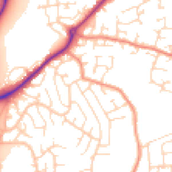
Daytime· 07:00 – 23:00
51.9dB

Night-time· 23:00 – 07:00
41.2dB