10 Ashby Road East, Bretby, Burton On Trent, DE15 0PT
About 10 Ashby Road East
10 Ashby Road East is a six-bedroom detached house in Bretby, Burton-On-Trent, Burton On Trent (DE15 0PT). It has a recorded floor area of 300 m² (around 3229 sq ft), construction records dating it to 1930-1949 and council tax band G. The latest certificate (March 2022) shows a D (score 61), on the cusp of jumping into the C band. The recommended improvements would push it to C (score 77). Other recorded features include a self-contained annexe. Period features are noted in the property record. Records show the property has been extended at some point in its history.
It hasn't traded since September 2002, a hold of 24 years that's notably long for the area. At 300 m² the property is well over the postcode median (141 m² across 26 EPCs), placing it in the larger end of the local stock. 6 bedrooms is on the larger side for this postcode, where 4 is the typical count. Across 1996–2002, sale prices on this property compounded at 9.8% per year. Today's modelled estimate of £781,000 sits 169.3% above the 2002 sale of £290,000. On a £-per-square-foot basis, the last sale (£90/sq ft) was about 53.2% below the postcode norm. One historical planning record sits against the property in 2001.
What this property has
Inside
- Bedrooms6
- Bathrooms4
- Open-plan layoutYes
- CloakroomYes
- EnsuiteYes
- StudyYes
Outside
- Private gardenSouth-facing
- GarageDouble
Building
- Period featuresYes
- Previously extendedYes
- RefurbishedYes
Everything you need to know about 10 Ashby Road East
The true value, the hidden risks and the full sale history, in one report.
Pick your report · from £14.99
One time fee only - money back guarantee

The data behind every report





Energy performance
10 Ashby Road East's carbon output runs well above what efficient homes in the postcode produce.
EPC Rating
Certificate validity
Valid until 24 March 2032

Get a survey for this property
Level 3 Building Survey
Because the property is a large detached home over 300m², has been extended more than once, and has solid (non-cavity) walls, we believe a Level 3 building survey should be considered.
From £1,220 · Includes VAT
Planning history
1 application on record at 10 Ashby Road East, Bretby, Burton On Trent, DE15 0PT
- May 2001ApplicationOutcome in report
The erection of a wall and the formation of an additional vehicular access at.
- Reference
- 9/2001/0177
Unlock 10 Ashby Road East, Bretby, Burton On Trent, DE15 0PT's full planning history
You're seeing the shape of it. The report has the substance.
- Every decision — granted, refused or withdrawn (1 on record)
- All 1 application on this property in full, plus 2 notable nearby
- What the pattern means for extending or converting here
One time fee only - money back guarantee
Sales history & valuation
10 Ashby Road East's modelled value sits at over four times its earliest registered sale price (1996).
£781,000
Modelled from EPC, postcode comparables and a sale-price growth of 9.8% per year over 6 years.
£290,000
Growth on file: 9.8% per year over 6 years.
Sales timeline
15 September 2002Most recent
£290,000
+36.5%over 3 years31 March 1999
£212,500
+32.8%over 2 years1 May 1996
£160,000
Median price across the last 5 sales in DE15 0PT: £512,500 (2026–2023).
Nearby sales in DE15 0PT
82a, Ashby Road East, Bretby, Burton On Trent, DE15 0PT
Sold Mar 2026
£430,00012 Ashby Road East, Bretby, Burton On Trent, DE15 0PT
Sold Jul 2025
£475,00082b, Ashby Road East, Bretby, Burton On Trent, DE15 0PT
Sold Jun 2025
£530,00092 Ashby Road East, Bretby, Burton On Trent, DE15 0PT
Sold Sept 2024
£512,50024 Ashby Road East, Bretby, Burton On Trent, DE15 0PT
Sold Aug 2023
£825,000
Versus other Ashby Road East homes
On habitable rooms, 10 Ashby Road East stands well clear of the street.
Price per m²
£967
Street avg £2,421
Floor Area
300 m²
Street avg 163 m²
Habitable Rooms
12 rooms
Street avg 6 rooms
CO₂ Emissions
13.0 t/year
Street avg 6.8 t/year
Everything you need to know about 10 Ashby Road East
The true value, the hidden risks and the full sale history, in one report.
Pick your report · from £14.99
One time fee only - money back guarantee
The data behind every report
Similar properties nearby
1 Blue Cedars Drive
DE15 0PQ
1 Brick Kiln Road, Newton Solney
DE15 0TS
1 Balmoral Road
DE15 0JN
1 Brizlincote Lane
DE15 0PR
1 Castle Cottages, Newton Road, Newton Solney
DE15 0TE
1 Brookside Cottage, Hollow Lane
DE15 0DR
1 Bretby Lane, Bretby
DE15 0QL
1 Alexandra Road
DE15 0JE
The neighbourhood at a glance
Daytime road noise here sits well below conversation level — a quiet pocket of the postcode.
Crime
172/mo
Steady year-on-year across the wider district.
Nearest stop
0.3 km
Stanhope Arms — bus stop.
Closest school
1.2 km
Mercia Academy. 17 schools nearby.
Go deeper on the local area
A Local Area report breaks down crime, transport links, schools and air quality in depth.
Road noise across the postcode
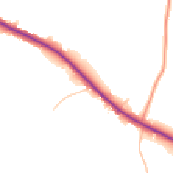
Daytime· 07:00 – 23:00
47.1dB

Night-time· 23:00 – 07:00
40.8dB