29 Barley Road, Burton On Trent, DE13 9FZ
About 29 Barley Road
29 Barley Road is a semi-detached house in Burton On Trent (DE13 9FZ). It has a recorded floor area of 63 m² (around 678 sq ft) and construction records dating it to 2019. The latest certificate (October 2022) returns a B (score 83), comfortably above the UK average. The recommended improvements would push it to A (score 96).
At 63 m² it's 22.2% smaller than the typical home in the postcode (81 m² median across 24 EPCs). Across 2023–2024, sale prices on this property compounded at 1.2% per year. Most recent transfer: November 2024 at £200,000.
Everything you need to know about 29 Barley Road
The true value, the hidden risks and the full sale history, in one report.
Pick your report · every report is £14.99
One time fee only - money back guarantee

The data behind every report


Energy performance
29 Barley Road's carbon output is low for the local stock.
EPC Rating
Get a survey for this property
Level 2 HomeBuyer Report
We've checked 10 risk factors against the available data for this property and believe a Level 2 HomeBuyer Report could be a suitable option for you.
From £545 · Includes VAT
Planning history
29 Barley Road has no planning applications on record.
But the area is active
4 notable applications nearby — larger schemes and conversions that could reshape the street. The report maps them all.
Sales history & valuation
£208,000
Modelled from EPC, postcode comparables and a sale-price growth of 1.2% per year over 2 years.
£200,000
Growth on file: 1.2% per year over 2 years.
Sales timeline
5 November 2024Most recent
£200,000
+2.0%over 1 year6 February 2023
£196,000
Median price across the last 5 sales in DE13 9FZ: £190,000 (2025–2022).
Nearby sales in DE13 9FZ
3 Barley Road, Burton On Trent, DE13 9FZ
Sold Feb 2025
£100,0005 Barley Road, Burton On Trent, DE13 9FZ
Sold Dec 2024
£90,00011 Barley Road, Burton On Trent, DE13 9FZ
Sold Aug 2024
£190,00012 Barley Road, Burton On Trent, DE13 9FZ
Sold Dec 2022
£230,00014 Barley Road, Burton On Trent, DE13 9FZ
Sold Dec 2022
£230,000
Versus other Barley Road homes
29 Barley Road is notably below the street on years held.
Price per m²
£3,175
Street avg £2,752
Floor Area
63 m²
Street avg 84 m²
CO₂ Emissions
1.1 t/year
Street avg 1.3 t/year
Years Held
2 years
Street avg 4 years
Everything you need to know about 29 Barley Road
The true value, the hidden risks and the full sale history, in one report.
Pick your report · every report is £14.99
One time fee only - money back guarantee
The data behind every report
Similar properties nearby
1 Burton Street, Tutbury
DE13 9NR
1 Bourne Close, Tutbury
DE13 9LH
1 Anslow Park Cottages, Main Road, Anslow
DE13 9QJ
1 Battlestead Road
DE13 9GB
1 Billings Close
DE13 9SR
1 Bridge Street, Tutbury
DE13 9LZ
1 Aviation Lane
DE13 9TL
1 Brookside Cottage, Main Street, Tatenhill
DE13 9SQ
The neighbourhood at a glance
Crime
5/mo
Steady year-on-year across the wider district.
Nearest stop
0.4 km
John Taylor Free School — bus stop.
Closest school
0.3 km
Branston Locks Primary and Nursery School. 7 schools nearby.
Go deeper on the local area
A Local Area report breaks down crime, transport links, schools and air quality in depth.
Road noise across the postcode
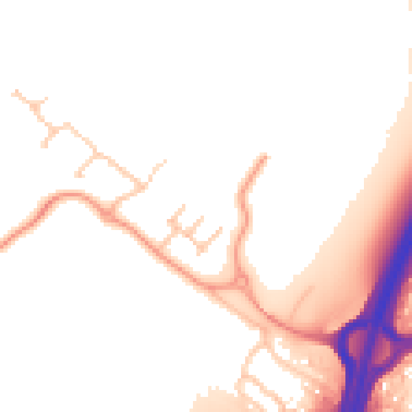
Daytime· 07:00 – 23:00
51.9dB

Night-time· 23:00 – 07:00
45.2dB