11 Salt Drive, Barton Under Needwood, Burton On Trent, DE13 8FG
About 11 Salt Drive
11 Salt Drive is a semi-detached house in Barton Under Needwood, Burton-On-Trent, Burton On Trent (DE13 8FG). It has a recorded floor area of 101 m² (around 1087 sq ft) and construction records dating it to 2012-2021. The latest certificate (July 2025) shows a C (score 79), near the top of the C band. Earlier certificates rated it B (December 2015); the latest reading is one band lower. Between certificates, wall efficiency dropped from Very Good to Good and roof efficiency dropped from Very Good to Good. The recommended improvements would push it to B (score 83).
At 101 m² it's 26.3% larger than the typical home in the postcode (80 m² median across 10 EPCs). On energy efficiency it sits in the bottom 10% of properties in this postcode — significant headroom for improvement.
Everything you need to know about 11 Salt Drive
The true value, the hidden risks and the full sale history, in one report.
Pick your report · every report is £14.99
One time fee only - money back guarantee

The data behind every report


Energy performance
11 Salt Drive sits at the bottom of the postcode for energy efficiency — meaningful headroom to improve.
EPC Rating
Get a survey for this property
Level 2 HomeBuyer Report
We've checked 10 risk factors against the available data for this property and believe a Level 2 HomeBuyer Report could be a suitable option for you.
From £595 · Includes VAT
Planning history
11 Salt Drive has no planning applications on record.
A planning report still maps activity across the surrounding area and reads this property's extension & conversion potential.
Sales history & valuation
11 Salt Drive has no Land Registry sales on file, suggesting it has stayed in the same hands since registration began.
£371,000
Modelled from EPC, postcode comparables.
No sales recorded with HM Land Registry
That can mean the property has never traded since the registry began publishing in 1995, was a new build that hasn't been registered yet, or is held in the same hands long-term.
Median price across the last 5 sales in DE13 8FG: £275,000 (2025–2018).
Nearby sales in DE13 8FG
15 Salt Drive, Barton Under Needwood, Burton On Trent, DE13 8FG
Sold Feb 2025
£515,0003 Salt Drive, Barton Under Needwood, Burton On Trent, DE13 8FG
Sold Apr 2021
£90,0001 Salt Drive, Barton Under Needwood, Burton On Trent, DE13 8FG
Sold Jun 2020
£350,0008 Salt Drive, Barton Under Needwood, Burton On Trent, DE13 8FG
Sold Jul 2019
£275,0007 Salt Drive, Barton Under Needwood, Burton On Trent, DE13 8FG
Sold Jan 2018
£54,000
Versus other Salt Drive homes
On epc rating, 11 Salt Drive runs well behind the street norm.
EPC Rating
79 (C)
Street avg 83 (B)
Floor Area
101 m²
Street avg 89 m²
CO₂ Emissions
2.1 t/year
Street avg 1.5 t/year
Everything you need to know about 11 Salt Drive
The true value, the hidden risks and the full sale history, in one report.
Pick your report · every report is £14.99
One time fee only - money back guarantee
The data behind every report
Similar properties nearby
1 Farm Yard Court, Hadley Street, Yoxall
DE13 8FS
1 Brookside Cottage, Anslow Road, Hanbury
DE13 8TX
1 Alwyn Road, Yoxall
DE13 8QB
1 Churchfields, Yoxall
DE13 8PU
1 Anslow Road, Hanbury
DE13 8TJ
1 Alexandra Drive, Yoxall
DE13 8PL
1 Fallowfield Drive, Barton Under Needwood
DE13 8DH
1 Cedar Road, Barton Under Needwood
DE13 8LH
The neighbourhood at a glance
Crime
5/mo
Steady year-on-year across the wider district.
Nearest stop
0.2 km
Captains Lane — bus stop.
Closest school
0.3 km
Thomas Russell Junior School. 4 schools nearby.
Go deeper on the local area
A Local Area report breaks down crime, transport links, schools and air quality in depth.
Road noise across the postcode
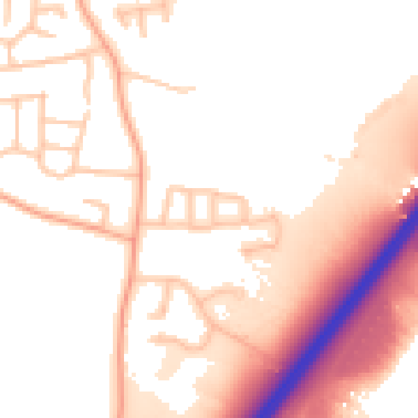
Daytime· 07:00 – 23:00
54.6dB

Night-time· 23:00 – 07:00
46.4dB