2 Broome Close, Kings Bromley, Burton On Trent, DE13 7JR
About 2 Broome Close
2 Broome Close is a property in Kings Bromley, Burton-On-Trent, Burton On Trent (DE13 7JR). It has council tax band G.
It hasn't traded since September 2000, a hold of 26 years that's notably long for the area. Only one transfer is on record with HM Land Registry, suggesting it has stayed in the same hands for a long time.
Everything you need to know about 2 Broome Close
The true value, the hidden risks and the full sale history, in one report.
Pick your report · every report is £14.99
One time fee only - money back guarantee

The data behind every report


Energy performance
No EPC on record
This property doesn't have an Energy Performance Certificate yet. An EPC is required to sell or let — and unlocks our automated valuation.
Get a survey for this property
Level 2 HomeBuyer Report
We've checked 10 risk factors against the available data for this property and believe a Level 2 HomeBuyer Report could be a suitable option for you.
Planning history
2 Broome Close has no planning applications on record.
But the area is active
1 notable application nearby — larger schemes and conversions that could reshape the street. The report maps them all.
Sales history & valuation
£420,000
Recorded with HM Land Registry.
Sales timeline
28 September 2000Most recent
£420,000
Median price across the last 5 sales in DE13 7JR: £675,000 (2025–2014).
Nearby sales in DE13 7JR
4 Broome Close, Kings Bromley, Burton On Trent, DE13 7JR
Sold May 2025
£895,0006 Broome Close, Kings Bromley, Burton On Trent, DE13 7JR
Sold Feb 2019
£675,0005 Broome Close, Kings Bromley, Burton On Trent, DE13 7JR
Sold Aug 2015
£580,0007 Broome Close, Kings Bromley, Burton On Trent, DE13 7JR
Sold Dec 2014
£680,0003 Broome Close, Kings Bromley, Burton On Trent, DE13 7JR
Sold Dec 1999
£415,000
Everything you need to know about 2 Broome Close
The true value, the hidden risks and the full sale history, in one report.
Pick your report · every report is £14.99
One time fee only - money back guarantee
The data behind every report
Similar properties nearby
1 Gilliards Croft, Kings Bromley
DE13 7HX
1 Daisy Lane, Alrewas
DE13 7EW
1 Broomhalls Croft, Alrewas
DE13 7FG
1 Church Farm Mews, Kings Bromley
DE13 7JZ
1 Fox Court, Kings Bromley
DE13 7JH
1 Fox Lane, Alrewas
DE13 7EG
1 Bromley Court, Kings Bromley
DE13 7HE
1 Cotton Close, Alrewas
DE13 7BF
The neighbourhood at a glance
Daytime road noise here sits well below conversation level — a quiet pocket of the postcode.
Crime
5/mo
Steady year-on-year across the wider district.
Nearest stop
0.2 km
The Royal Oak PH — bus stop.
Closest school
0.1 km
The Richard Crosse CofE Primary School. 2 schools nearby.
Go deeper on the local area
A Local Area report breaks down crime, transport links, schools and air quality in depth.
Road noise across the postcode
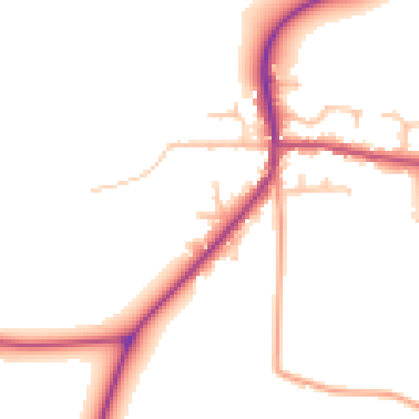
Daytime· 07:00 – 23:00
49.3dB

Night-time· 23:00 – 07:00
41.7dB