3 Denbigh Close, Stretton, Burton On Trent, DE13 0WQ
About 3 Denbigh Close
3 Denbigh Close is a property in Stretton, Burton-On-Trent, Burton On Trent (DE13 0WQ). It has council tax band C.
Untraded for 22 years, with the last transfer in June 2004.
Everything you need to know about 3 Denbigh Close
The true value, the hidden risks and the full sale history, in one report.
Pick your report · every report is £14.99
One time fee only - money back guarantee

The data behind every report


Energy performance
No EPC on record
This property doesn't have an Energy Performance Certificate yet. An EPC is required to sell or let — and unlocks our automated valuation.
Get a survey for this property
Level 2 HomeBuyer Report
We've checked 10 risk factors against the available data for this property and believe a Level 2 HomeBuyer Report could be a suitable option for you.
Planning history
3 Denbigh Close has no planning applications on record.
But the area is active
13 notable applications nearby — larger schemes and conversions that could reshape the street. The report maps them all.
Sales history & valuation
£179,950
Recorded with HM Land Registry.
Sales timeline
10 June 2004Most recent
£179,950
Median price across the last 5 sales in DE13 0WQ: £285,000 (2024–2016).
Nearby sales in DE13 0WQ
12 Denbigh Close, Stretton, Burton On Trent, DE13 0WQ
Sold Jan 2024
£300,00018 Denbigh Close, Stretton, Burton On Trent, DE13 0WQ
Sold Jun 2022
£310,00010 Denbigh Close, Stretton, Burton On Trent, DE13 0WQ
Sold Jan 2021
£285,0001 Denbigh Close, Stretton, Burton On Trent, DE13 0WQ
Sold Jun 2016
£227,5002 Denbigh Close, Stretton, Burton On Trent, DE13 0WQ
Sold Apr 2015
£182,950
Everything you need to know about 3 Denbigh Close
The true value, the hidden risks and the full sale history, in one report.
Pick your report · every report is £14.99
One time fee only - money back guarantee
The data behind every report
Similar properties nearby
1 Bosworth Drive
DE13 0PR
1 Barrington Close, Stretton
DE13 0YD
1 Beam Close
DE13 0AH
1 Bladon View, Stretton
DE13 0JE
1 Alderholme Drive, Stretton
DE13 0FJ
1 Bamborough Close, Stretton
DE13 0WD
1 Ashford Road
DE13 0QG
1 Blackthorn Avenue
DE13 0UB
The neighbourhood at a glance
Crime
5/mo
Steady year-on-year across the wider district.
Nearest stop
0.2 km
St Johns Road — bus stop.
Closest school
0.3 km
Eton Park Junior Academy. 18 schools nearby.
Go deeper on the local area
A Local Area report breaks down crime, transport links, schools and air quality in depth.
Road noise across the postcode
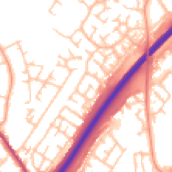
Daytime· 07:00 – 23:00
54.5dB

Night-time· 23:00 – 07:00
44.6dB