2 Crichton Avenue, Stretton, Burton On Trent, DE13 0WE
About 2 Crichton Avenue
2 Crichton Avenue is a four-bedroom detached house in Stretton, Burton-On-Trent, Burton On Trent (DE13 0WE). It has a recorded floor area of 104 m² (around 1119 sq ft), construction records dating it to 1983-1990 and council tax band C. The latest certificate (August 2013) shows a D (score 64), on the cusp of jumping into the C band. The recommended improvements would push it to C (score 79). The latest certificate is from August 2013, so improvements made since then won't be reflected. Records show the property has been extended at some point in its history. The home occupies a corner plot.
Last sold in February 2018, so it's been off the market for around 8 years. Across 1998–2018, sale prices on this property compounded at 5.6% per year. Today's modelled estimate of £333,000 is 44.8% above the 2018 sale price.
What this property has
Inside
- Bedrooms4
- Bathrooms2
- Dining roomYes
Outside
- Private gardenYes
- GarageYes
- Corner plotYes
Building
- Previously extendedYes
Everything you need to know about 2 Crichton Avenue
The true value, the hidden risks and the full sale history, in one report.
Pick your report · every report is £14.99
One time fee only - money back guarantee

The data behind every report


Energy performance
2 Crichton Avenue's EPC is over a decade old — improvements since won't be reflected.
EPC Expired
This certificate is over 10 years old and is no longer valid.Expired 26 Aug 2023
EPC Rating
Get a survey for this property
Level 2 HomeBuyer Report
We've checked 10 risk factors against the available data for this property and believe a Level 2 HomeBuyer Report could be a suitable option for you.
From £595 · Includes VAT
Planning history
2 Crichton Avenue has no planning applications on record.
But the area is active
13 notable applications nearby — larger schemes and conversions that could reshape the street. The report maps them all.
Sales history & valuation
2 Crichton Avenue has more than doubled in price since the earliest registered sale in 1998.
£333,000
Modelled from EPC, postcode comparables and a sale-price growth of 5.6% per year over 20 years.
£230,000
Growth on file: 5.6% per year over 20 years.
Sales timeline
9 February 2018Most recent
£230,000
+22.7%over 4 years24 October 2013
£187,500
+140.4%over 15 years2 April 1998
£78,000
Median price across the last 3 sales in DE13 0WE: £193,000 (2018–2001).
Everything you need to know about 2 Crichton Avenue
The true value, the hidden risks and the full sale history, in one report.
Pick your report · every report is £14.99
One time fee only - money back guarantee
The data behind every report
Similar properties nearby
1 Alderholme Drive, Stretton
DE13 0FJ
1 Beech Gardens, Hurst Drive, Stretton
DE13 0FE
1 Alderson Drive, Stretton
DE13 0QQ
1 Bladon View, Stretton
DE13 0JE
1 Beam Close
DE13 0AH
1 Barrington Close, Stretton
DE13 0YD
1 Bamborough Close, Stretton
DE13 0WD
1 Beech Lane, Stretton
DE13 0DU
The neighbourhood at a glance
Crime
5/mo
Steady year-on-year across the wider district.
Nearest stop
0.2 km
St Johns Road — bus stop.
Closest school
0.2 km
Eton Park Junior Academy. 19 schools nearby.
Go deeper on the local area
A Local Area report breaks down crime, transport links, schools and air quality in depth.
Road noise across the postcode
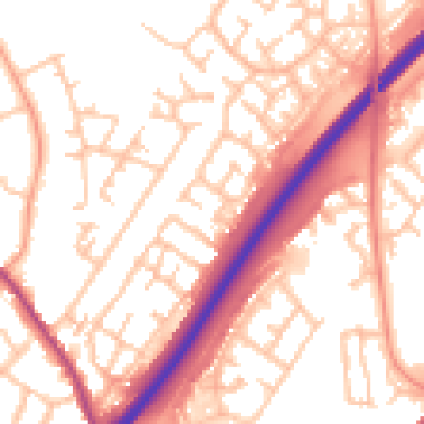
Daytime· 07:00 – 23:00
55.1dB

Night-time· 23:00 – 07:00
45.3dB