3 Crestwood Close, Stretton, Burton On Trent, DE13 0EZ
About 3 Crestwood Close
3 Crestwood Close is a property in Stretton, Burton-On-Trent, Burton On Trent (DE13 0EZ). It has council tax band B.
Untraded for 28 years, with the last transfer in September 1998. Only one transfer is on record with HM Land Registry, suggesting it has stayed in the same hands for a long time. 2 planning records sit against the property, 2 approved, 0 refused. Past consents include an extension and a conservatory, meaningful when judging how the property has evolved.
Everything you need to know about 3 Crestwood Close
The true value, the hidden risks and the full sale history, in one report.
Pick your report · every report is £14.99
One time fee only - money back guarantee

The data behind every report


Energy performance
No EPC on record
This property doesn't have an Energy Performance Certificate yet. An EPC is required to sell or let — and unlocks our automated valuation.
Get a survey for this property
Level 2 HomeBuyer Report
We've checked 10 risk factors against the available data for this property and believe a Level 2 HomeBuyer Report could be a suitable option for you.
Planning history
2 applications on record at 3 Crestwood Close, Stretton, Burton On Trent, DE13 0EZ
- Mar 2009ConservatoryFullOutcome in report
Extension: Rear of property
Erection of a rear conservatory and repositioning of a 1.8m high boundary fence
Extension- Documents
- 6 docs on file
- Reference
- HO/32228/002/MA
- More recent applications — locked
- ConservatoryAug 2009Decision
Unlock 3 Crestwood Close, Stretton, Burton On Trent, DE13 0EZ's full planning history
You're seeing the shape of it. The report has the substance.
- Every decision — granted, refused or withdrawn (2 on record)
- All 2 applications on this property in full, plus 13 notable nearby
- The 6 documents, officer reports & conditions
- What the pattern means for extending or converting here
One time fee only - money back guarantee
Sales history & valuation
3 Crestwood Close has been held in the same hands since before 2000.
£43,500
Recorded with HM Land Registry.
Sales timeline
24 September 1998Most recent
£43,500
Median price across the last 5 sales in DE13 0EZ: £155,000 (2025–2018).
Nearby sales in DE13 0EZ
1 Crestwood Close, Stretton, Burton On Trent, DE13 0EZ
Sold Jul 2025
£169,9997 Crestwood Close, Stretton, Burton On Trent, DE13 0EZ
Sold Feb 2019
£133,00012 Crestwood Close, Stretton, Burton On Trent, DE13 0EZ
Sold Dec 2018
£160,00018 Crestwood Close, Stretton, Burton On Trent, DE13 0EZ
Sold Mar 2018
£130,00014 Crestwood Close, Stretton, Burton On Trent, DE13 0EZ
Sold Dec 2017
£141,500
Everything you need to know about 3 Crestwood Close
The true value, the hidden risks and the full sale history, in one report.
Pick your report · every report is £14.99
One time fee only - money back guarantee
The data behind every report
Similar properties nearby
1 Addie Road
DE13 0FU
1 Alderholme Drive, Stretton
DE13 0FJ
1 Alderson Drive, Stretton
DE13 0QQ
1 Almond Court, Stretton
DE13 0HN
1 Althorp Way, Stretton
DE13 0JS
1 Amberlands, Stretton
DE13 0PE
1 Ashford Road
DE13 0QG
1 Balata Way
DE13 0TY
The neighbourhood at a glance
Crime
5/mo
Steady year-on-year across the wider district.
Nearest stop
0.1 km
Harlech Way — bus stop.
Closest school
0.6 km
The de Ferrers Academy. 16 schools nearby.
Go deeper on the local area
A Local Area report breaks down crime, transport links, schools and air quality in depth.
Road noise across the postcode
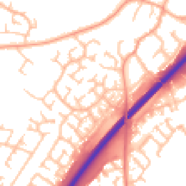
Daytime· 07:00 – 23:00
53.8dB

Night-time· 23:00 – 07:00
43.8dB