7 Elwyn Close, Stretton, Burton On Trent, DE13 0BG
About 7 Elwyn Close
7 Elwyn Close is a property in Stretton, Burton-On-Trent, Burton On Trent (DE13 0BG). It has council tax band E.
Held since December 1997 — that's 28 years off the open market, well above the local norm. Only one transfer is on record with HM Land Registry, suggesting it has stayed in the same hands for a long time.
Everything you need to know about 7 Elwyn Close
The true value, the hidden risks and the full sale history, in one report.
Pick your report · every report is £14.99
One time fee only - money back guarantee

The data behind every report


Energy performance
No EPC on record
This property doesn't have an Energy Performance Certificate yet. An EPC is required to sell or let — and unlocks our automated valuation.
Get a survey for this property
Level 2 HomeBuyer Report
We've checked 10 risk factors against the available data for this property and believe a Level 2 HomeBuyer Report could be a suitable option for you.
Planning history
7 Elwyn Close has no planning applications on record.
But the area is active
13 notable applications nearby — larger schemes and conversions that could reshape the street. The report maps them all.
Sales history & valuation
7 Elwyn Close has been held in the same hands since before 2000.
£120,000
Recorded with HM Land Registry.
Sales timeline
5 December 1997Most recent
£120,000
Median price across the last 5 sales in DE13 0BG: £325,000 (2025–2019).
Nearby sales in DE13 0BG
6 Elwyn Close, Stretton, Burton On Trent, DE13 0BG
Sold Sept 2025
£450,00017 Elwyn Close, Stretton, Burton On Trent, DE13 0BG
Sold Jan 2023
£325,0009 Elwyn Close, Stretton, Burton On Trent, DE13 0BG
Sold Sept 2022
£400,0001 Elwyn Close, Stretton, Burton On Trent, DE13 0BG
Sold Feb 2019
£235,0003 Elwyn Close, Stretton, Burton On Trent, DE13 0BG
Sold Jan 2019
£260,000
Everything you need to know about 7 Elwyn Close
The true value, the hidden risks and the full sale history, in one report.
Pick your report · every report is £14.99
One time fee only - money back guarantee
The data behind every report
Similar properties nearby
1 Addie Road
DE13 0FU
1 Alderholme Drive, Stretton
DE13 0FJ
1 Alderson Drive, Stretton
DE13 0QQ
1 Almond Court, Stretton
DE13 0HN
1 Althorp Way, Stretton
DE13 0JS
1 Amberlands, Stretton
DE13 0PE
1 Ashford Road
DE13 0QG
1 Balata Way
DE13 0TY
The neighbourhood at a glance
Crime
5/mo
Steady year-on-year across the wider district.
Nearest stop
0.1 km
Telmah Close — bus stop.
Closest school
0.5 km
The de Ferrers Academy. 15 schools nearby.
Go deeper on the local area
A Local Area report breaks down crime, transport links, schools and air quality in depth.
Road noise across the postcode
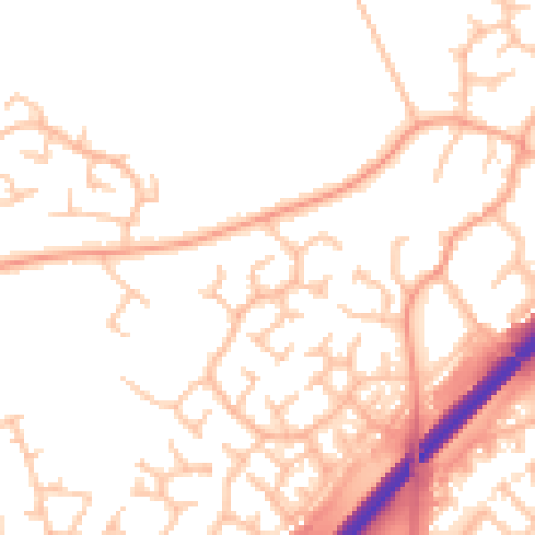
Daytime· 07:00 – 23:00
50.7dB

Night-time· 23:00 – 07:00
41.1dB