Are you a property professional?Get qualified leads from motivated homeowners.
Get startedOld School Court, 3, 2 Clarence Crescent, Sidcup, DA14 4DF
EPC B
About Old School Court
A plain-English summary derived from public records, EPC certificates, sold prices and local data.
Old School Court is a semi-detached house in Sidcup (DA14 4DF). It has a recorded floor area of 74 m² (around 797 sq ft). At 74 m² this is the smallest unit on EPC record across Old School Court (74–74 m²). The building's EPC ratings span C to B, with this unit at the top. The latest certificate (December 2018) returns a B (score 84), comfortably above the UK average.
Sale prices here have outpaced England HPI: 1.2% per year against 0% for the wider region. Today's modelled estimate of £481,000 is 11.9% above the 2025 sale price. On a £-per-square-foot basis, the last sale (£540/sq ft) was about 25.6% above the typical sold price in the postcode. It changed hands recently, sold January 2025 for £430,000. Its energy rating outperforms most of the postcode (better than 74% of similar EPCs).
Energy performance
Every EPC certificate filed against this property — current rating, recorded improvements, and where there's headroom to reach a higher band.
Old School Court's carbon output is low for the local stock.
EPC Rating
A
B
B84
C
D
E
F
G
Main Heating
Electric & Gas
Main Fuel
Gas
Hot Water
Good
Windows
Very Good
CO2 Emissions
1.1 t/year
Occupancy
Owner Occupied
Sales history & valuation
Recorded transactions, our model's current estimate, and a quick read on what neighbouring properties have sold for.
Current estimate
See how we calculated this£481,000
Modelled from EPC, postcode comparables and a sale-price growth of 1.2% per year over 6 years.
Last sold (2025)
£430,000
Growth on file: 1.2% per year over 6 years.
Sales timeline
Launch offer · 33% off
Buying Old School Court, 3, 2 Clarence Crescent, Sidcup, DA14 4DF? Know what you're getting into
Everything a buyer needs to know about this property, compiled into one in-depth report so there are no surprises after you offer.
Spot red flags before you buy
An AI-written breakdown of everything that matters
Versus other Clarence Crescent homes
Four headline reads against 15 similar flats on this street, drawn from the latest EPC and Land Registry data.
On years held, Old School Court runs well behind the street norm.
Price per m²
£5,811
Street avg £6,076
Floor Area
74 m²
Street avg 70 m²
CO₂ Emissions
1.1 t/year
Street avg 1.5 t/year
Similar properties nearby
A handful of close matches in the same postcode area, ranked by likeness on bedrooms, type and floor area.
The neighbourhood at a glance
A condensed read of the local area. Each tile links through to the full breakdown on the Sidcup district page.
Rail-style transport is unusually close for this postcode.
Crime
4/mo
Steady year-on-year across the wider district.
Nearest stop
0.3 km
Granville Road — bus stop.
Road noise across the postcode
Modelled day and night-time noise levels around DA14 4DF from Defra's strategic mapping. The pin marks this postcode's centroid.
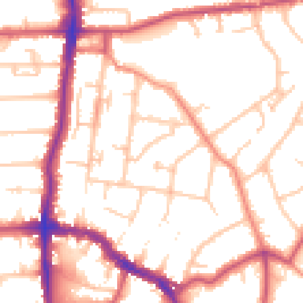
Daytime· 07:00 – 23:00
52.8dB

Everything within walking distance
Schools, transport stops and scenic spots near this property — 58 points of interest in total.
Common questions
The questions buyers, sellers and homeowners most often ask about Old School Court, 3, 2 Clarence Crescent, Sidcup, DA14 4DF. Each answer is also embedded as structured data for search engines.
