3 High Street, Congleton, CW12 1BN
About 3 High Street
3 High Street is a detached house in Congleton (CW12 1BN). It has a recorded floor area of 56 m² (around 602 sq ft) and construction records dating it to before 1900. The latest certificate (January 2010) shows an F (score 38), near the bottom of the EPC scale. The recommended improvements would lift it to D (score 59), a 2-band jump. The latest certificate is from January 2010, so improvements made since then won't be reflected.
3 planning records sit against the property, 3 approved, 0 refused. Last sale on file: £300,000 in July 2024.
Know exactly what you're buying at 3 High Street
Before you offer, see what the listing won't tell you, the true value, the red flags and the full history.
Already flagged here
Valuation
against the asking price
Risks
planning & flood
Sold prices
similar homes nearby
Trends
the local market
Energy performance
Recommended upgrades on file would lift this property by multiple EPC bands.
EPC Expired
This certificate is over 10 years old and is no longer valid.Expired 07 Jan 2020
EPC Rating
Planning history
- Feb 2010Change Of UseFullIn report
Change of Use of Ground Floor From Retail (A1) to an Adult Gaming Centre (Sui Generis) and Erection of a Discreet CCTV Facility
- Documents
- 15 docs on file
- Reference
- 09/4195C
- Feb 2010AdvertisingIn report
One Non-Illuminated Fascia Sign And One Information Sign
- Documents
- 9 docs on file
- Reference
- 09/4194C
We flagged 1 thing worth checking at 3 High Street
Independent checks surfaced things a buyer would want to understand before offering. The report explains each one in full, with the underlying data and what to ask.
- Larger development activity nearby
30-day money-back guarantee
Sales history & valuation
£297,000
Modelled from EPC, postcode comparables.
£300,000
Recorded with HM Land Registry.
Sales timeline
7 July 2024Most recent
£300,000
Median price across the last 2 sales in CW12 1BN: £236,000 (2024–2022).
Everything we know about 3 High Street, in one report
What it's really worth, what could be wrong, and the planning, sales and area data in full.
What we flagged
- Larger development activity nearby

Similar properties nearby
The neighbourhood at a glance
Crime
3/mo
Falling year-on-year across the wider district.
Nearest stop
0.0 km
Town Hall — bus stop.
Closest school
0.4 km
Daven Primary School. 11 schools nearby.
Go deeper on the local area
The full report breaks down crime, transport links, schools and air quality in depth.
Road noise across the postcode
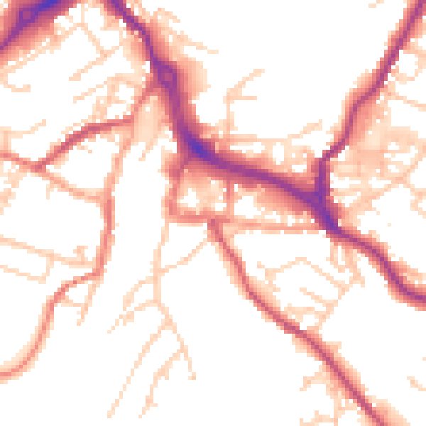
Daytime· 07:00 – 23:00
52.0dB

Night-time· 23:00 – 07:00
42.7dB