9b, Abbey Hill, Kenilworth, CV8 1LW
About 9b
9b is a property in Kenilworth (CV8 1LW).
Across 1997–2024, sale prices on this property compounded at 6.7% per year. Last sale on file: £465,000 in March 2024.
Know exactly what you're buying at 9b
Before you offer, see what the listing won't tell you, the true value, the red flags and the full history.
Already flagged here
Valuation
against the asking price
Risks
planning & flood
Sold prices
similar homes nearby
Trends
the local market
Energy performance
No EPC on record
This property doesn't have an Energy Performance Certificate yet. An EPC is required to sell or let — and unlocks our automated valuation.
Planning history
9b has no planning applications on record.
Notable planning nearby
8applications of note in the surrounding area
We flagged 1 thing worth checking at 9b
Independent checks surfaced things a buyer would want to understand before offering. The report explains each one in full, with the underlying data and what to ask.
- Larger development activity nearby
30-day money-back guarantee
Sales history & valuation
9b has more than quadrupled in price since its earliest registered sale in 1997.
£465,000
Growth on file: 6.7% per year over 26 years.
Sales timeline
15 March 2024Most recent
£465,000
+16.3%over 1 year18 August 2022
£400,000
+370.6%over 24 years18 December 1997
£85,000
Median price across the last 5 sales in CV8 1LW: £210,000 (2017–2006).
Nearby sales in CV8 1LW
Everything we know about 9b, in one report
What it's really worth, what could be wrong, and the planning, sales and area data in full.
What we flagged
- Larger development activity nearby

Similar properties nearby
1 Angless Way
CV8 1EJ
1 Brookside Avenue
CV8 1ES
1 Beech Court, Maple Lane, Burton Green
CV8 1TT
1 Berkeley Road
CV8 1AQ
1 Beechwood Croft
CV8 1GX
1 Borrowell Terrace, Borrowell Lane
CV8 1ER
1 Abbey Hill
CV8 1LW
1 Burrow Hill Lane, Burton Green
CV8 1TQ
The neighbourhood at a glance
Rail-style transport is unusually close for this postcode.
Crime
3/mo
Steady year-on-year across the wider district.
Nearest stop
0.0 km
Church — bus stop.
Closest school
0.2 km
St Nicholas CofE Primary School. 8 schools nearby.
Go deeper on the local area
The full report breaks down crime, transport links, schools and air quality in depth.
Road noise across the postcode
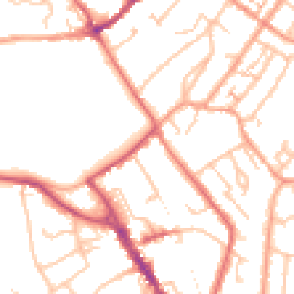
Daytime· 07:00 – 23:00
50.2dB

Night-time· 23:00 – 07:00
40.4dB