24 De Montfort Road, Kenilworth, CV8 1DE
About 24 De Montfort Road
24 De Montfort Road is a three-bedroom detached house in Kenilworth (CV8 1DE). It has a recorded floor area of 112 m² (around 1206 sq ft), construction records dating it to 1950-1966 and council tax band F. The latest certificate (July 2015) shows a D (score 62), on the cusp of jumping into the C band. The recommended improvements would push it to C (score 80). The latest certificate is from July 2015, so improvements made since then won't be reflected. Other recorded features include a conservatory and outbuildings. Records show the property has been extended at some point in its history.
One planning record on file: an extension approved in 2018. Past consents include an extension and a porch, meaningful when judging how the property has evolved. Across 1998–2017, sale prices on this property compounded at 5.9% per year. Today's modelled estimate of £548,000 is 35.3% above the 2017 sale price. On a £-per-square-foot basis, the last sale (£336/sq ft) was about 39.3% above the typical sold price in the postcode. On the market in February 2017 and unlisted since — roughly 9 years.
Know exactly what you're buying at 24 De Montfort Road
Before you offer, see what the listing won't tell you, the true value, the red flags and the full history.
Already flagged here
Valuation
against the asking price
Risks
planning & flood
Sold prices
similar homes nearby
Trends
the local market
What this property has
Inside
- Bedrooms3
- Bathrooms1
- CloakroomYes
- StudyYes
- ConservatoryYes
Outside
- Private gardenYes
- GarageYes
- OutbuildingsYes
Building
- Previously extendedYes
- RefurbishedYes
Energy performance
EPC Expired
This certificate is over 10 years old and is no longer valid.Expired 23 Jul 2025
EPC Rating
Planning history
- Oct 2018PorchFullIn report
Extension: Single storey · Rear of property
Erection of first floor front extensions; front canopy and a single storey rear extension.
- Agent
- Hampton Architecture Limited
Extension- Documents
- 12 docs on file
- Reference
- W/18/1696
We flagged 1 thing worth checking at 24 De Montfort Road
Independent checks surfaced things a buyer would want to understand before offering. The report explains each one in full, with the underlying data and what to ask.
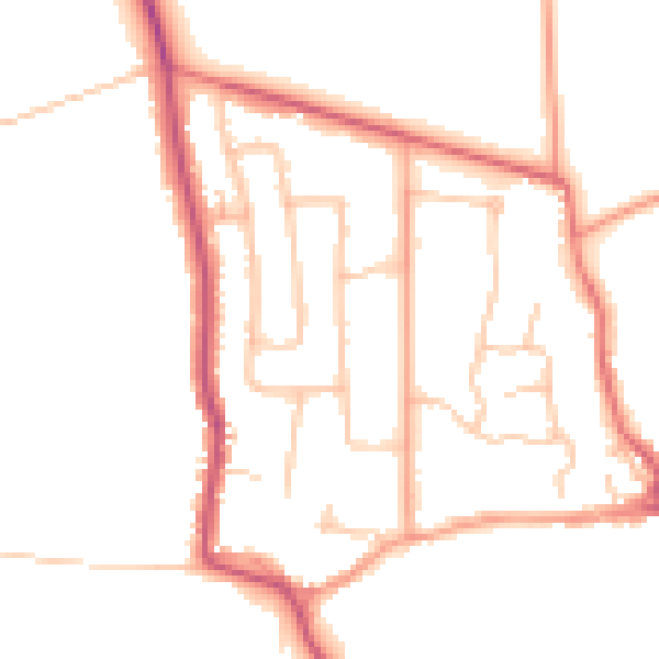
- Larger development activity nearby
30-day money-back guarantee
Sales history & valuation
24 De Montfort Road has more than doubled in price since the earliest registered sale in 1998.
£548,000
Modelled from EPC, postcode comparables and a sale-price growth of 5.9% per year over 19 years.
£405,000
Growth on file: 5.9% per year over 19 years.
Sales timeline
23 February 2017Most recent
£405,000
+189.3%over 18 years20 August 1998
£140,000
Median price across the last 5 sales in CV8 1DE: £450,000 (2025–2021).
Nearby sales in CV8 1DE
42 De Montfort Road, Kenilworth, CV8 1DE
Sold Apr 2025
£650,00055 De Montfort Road, Kenilworth, CV8 1DE
Sold Feb 2025
£357,50039 De Montfort Road, Kenilworth, CV8 1DE
Sold Oct 2024
£437,00034 De Montfort Road, Kenilworth, CV8 1DE
Sold Dec 2021
£450,00026 De Montfort Road, Kenilworth, CV8 1DE
Sold Nov 2021
£595,000
Everything we know about 24 De Montfort Road, in one report
What it's really worth, what could be wrong, and the planning, sales and area data in full.
What we flagged
- Larger development activity nearby

Versus other De Montfort Road homes
EPC Rating for 24 De Montfort Road lags the street by a wide margin.
Price per m²
£3,616
Street avg £3,388
Floor Area
112 m²
Street avg 126 m²
Habitable Rooms
5 rooms
Street avg 6 rooms
CO₂ Emissions
5.0 t/year
Street avg 4.9 t/year
Similar properties nearby
1 Berkeley Road
CV8 1AQ
1 Beech Court, Maple Lane, Burton Green
CV8 1TT
1 Castle Grove
CV8 1NF
1 Alexandra Court
CV8 1SB
1 Brookside Avenue
CV8 1ES
1 Avenue Road
CV8 1AW
1 Bromley Close
CV8 1AJ
1 Beechwood Croft
CV8 1GX
The neighbourhood at a glance
Daytime road noise here sits well below conversation level — a quiet pocket of the postcode.
Crime
3/mo
Steady year-on-year across the wider district.
Nearest stop
0.2 km
Rose Croft — bus stop.
Closest school
0.5 km
Priors Field Primary School. 9 schools nearby.
Go deeper on the local area
The full report breaks down crime, transport links, schools and air quality in depth.
Road noise across the postcode
Daytime· 07:00 – 23:00
48.1dB
Night-time· 23:00 – 07:00
39.5dB