9 Baker Drive, Wellesbourne, Warwick, CV35 9RQ
About 9 Baker Drive
9 Baker Drive is a semi-detached house in Wellesbourne, Warwick, Warwick (CV35 9RQ). It has a recorded floor area of 80 m² (around 861 sq ft), construction records dating it to 1996-2002 and council tax band D. The latest certificate (December 2019) shows an E (score 52), well below the UK norm with real room to improve. The recommended improvements would lift it to B (score 82), a 3-band jump.
At 80 m² it's 17.6% larger than the typical home in the postcode (68 m² median across 43 EPCs).
Know exactly what you're buying at 9 Baker Drive
Before you offer, see what the listing won't tell you, the true value, the red flags and the full history.
Already flagged here
Launch offer · save £5
Valuation
against the asking price
Risks
planning & flood
Sold prices
similar homes nearby
Trends
the local market
Energy performance
Recommended upgrades on file would lift this property by multiple EPC bands.
EPC Rating
Planning history
9 Baker Drive has no planning applications on record.
Notable planning nearby
6applications of note in the surrounding area
We flagged 1 thing worth checking at 9 Baker Drive
Independent checks surfaced things a buyer would want to understand before offering. The report explains each one in full, with the underlying data and what to ask.
- Larger development activity nearby
30-day money-back guarantee
Sales history & valuation
9 Baker Drive has no Land Registry sales on file, suggesting it has stayed in the same hands since registration began.
£305,000
Modelled from EPC, postcode comparables.
No sales recorded with HM Land Registry
That can mean the property has never traded since the registry began publishing in 1995, was a new build that hasn't been registered yet, or is held in the same hands long-term.
Everything we know about 9 Baker Drive, in one report
What it's really worth, what could be wrong, and the planning, sales and area data in full.
What we flagged
- Larger development activity nearby

Versus other Baker Drive homes
CO₂ Emissions for 9 Baker Drive lags the street by a wide margin.
EPC Rating
52 (E)
Street avg 64 (D)
Floor Area
80 m²
Street avg 65 m²
CO₂ Emissions
4.6 t/year
Street avg 2.9 t/year
Habitable Rooms
6 rooms
Street avg 4 rooms
Similar properties nearby
1 Anson Close, Wellesbourne
CV35 9LL
1 Cayzer Place, Elliott Drive, Wellesbourne
CV35 9RG
1 Brookside Avenue, Wellesbourne
CV35 9RZ
1 Bettridge Place, Wellesbourne
CV35 9LY
1 Ash Tree Close, Wellesbourne
CV35 9SA
1 Brook Lane, Moreton Morrell
CV35 9AT
1 Barclay Close, Wellesbourne
CV35 9UX
1 Blenheim Walk, Wellesbourne
CV35 9LJ
The neighbourhood at a glance
Crime
1/mo
Steady year-on-year across the wider district.
Nearest stop
0.2 km
Elliot Drive — bus stop.
Closest school
1.1 km
Wellesbourne CofE Primary School. 3 schools nearby.
Go deeper on the local area
The full report breaks down crime, transport links, schools and air quality in depth.
Road noise across the postcode
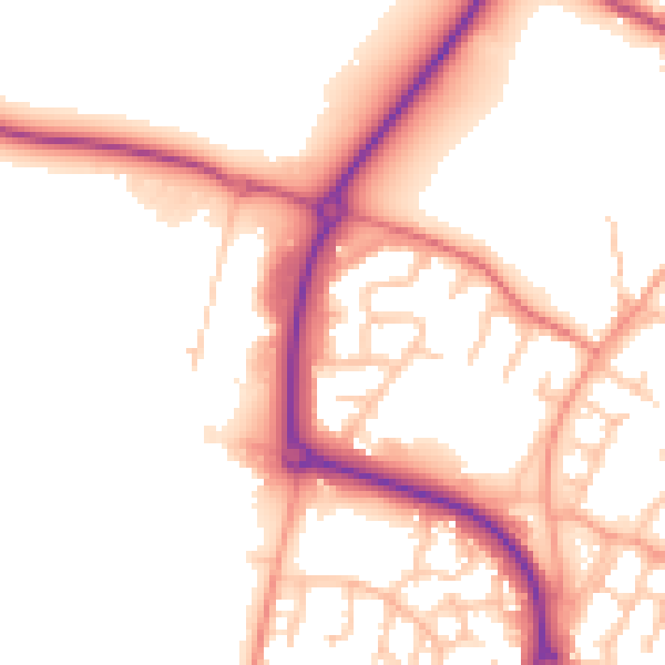
Daytime· 07:00 – 23:00
52.5dB

Night-time· 23:00 – 07:00
43.7dB