4 Beaufort Close, Wellesbourne, Warwick, CV35 9NU
About 4 Beaufort Close
4 Beaufort Close is a property in Wellesbourne, Warwick, Warwick (CV35 9NU). It has council tax band D.
Held since February 2004 — that's 22 years off the open market, well above the local norm. 2 planning records sit against the property, 0 approved, 0 refused.
Know exactly what you're buying at 4 Beaufort Close
Before you offer, see what the listing won't tell you, the true value, the red flags and the full history.
Already flagged here
Launch offer · save £5
Valuation
against the asking price
Risks
planning & flood
Sold prices
similar homes nearby
Trends
the local market
Energy performance
No EPC on record
This property doesn't have an Energy Performance Certificate yet. An EPC is required to sell or let — and unlocks our automated valuation.
Planning history
- Dec 2006ExtensionFullIn report
Extension: Single storey · Rear of property
Proposed single storey kitchen extension
- Documents
- 11 docs on file
- Reference
- 06/03231/FUL
- Aug 2005ExtensionFullIn report
Proposed single storey garden room extension
- Documents
- 1 doc on file
- Reference
- 05/02027/FUL
We flagged 1 thing worth checking at 4 Beaufort Close
Independent checks surfaced things a buyer would want to understand before offering. The report explains each one in full, with the underlying data and what to ask.
- Larger development activity nearby
30-day money-back guarantee
Sales history & valuation
£210,000
Recorded with HM Land Registry.
Sales timeline
20 February 2004Most recent
£210,000
Median price across the last 5 sales in CV35 9NU: £395,000 (2025–2016).
Nearby sales in CV35 9NU
6 Beaufort Close, Wellesbourne, Warwick, CV35 9NU
Sold Jan 2025
£410,00011 Beaufort Close, Wellesbourne, Warwick, CV35 9NU
Sold Jun 2022
£400,0001 Beaufort Close, Wellesbourne, Warwick, CV35 9NU
Sold Feb 2021
£395,00016 Beaufort Close, Wellesbourne, Warwick, CV35 9NU
Sold Dec 2014
£260,00010 Beaufort Close, Wellesbourne, Warwick, CV35 9NU
Sold Oct 2013
£270,000
Everything we know about 4 Beaufort Close, in one report
What it's really worth, what could be wrong, and the planning, sales and area data in full.
What we flagged
- Larger development activity nearby

Similar properties nearby
1 Baden West Road, Wellesbourne
CV35 9QJ
1 Church Street, Wellesbourne
CV35 9LS
1 Anderton Avenue, Wellesbourne
CV35 9UQ
1 Anslow Road, Wellesbourne
CV35 9UT
1 Blenheim Walk, Wellesbourne
CV35 9LJ
1 Barclay Close, Wellesbourne
CV35 9UX
1 Bromson Hill Bungalow, Ashorne
CV35 9AD
1 Constance Harris Close, Wellesbourne
CV35 9PZ
The neighbourhood at a glance
Crime
1/mo
Steady year-on-year across the wider district.
Nearest stop
0.1 km
Farrington Close — bus stop.
Closest school
1.2 km
Wellesbourne CofE Primary School. 3 schools nearby.
Go deeper on the local area
The full report breaks down crime, transport links, schools and air quality in depth.
Road noise across the postcode
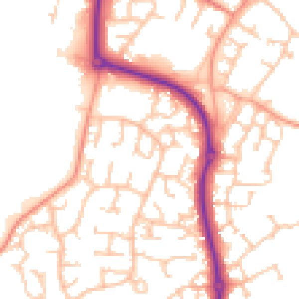
Daytime· 07:00 – 23:00
52.4dB

Night-time· 23:00 – 07:00
41.3dB