23 Hyde Road, Coventry, CV2 5ES
About 23 Hyde Road
23 Hyde Road is a three-bedroom mid-terrace house in Coventry (CV2 5ES). It has a recorded floor area of 71 m² (around 764 sq ft), construction records dating it to 1930-1949 and council tax band B. The latest certificate (July 2024) shows an E (score 39), well below the UK norm with real room to improve. The recommended improvements would lift it to B (score 81), a 3-band jump. Main heating runs on electricity. Other recorded features include a loft.
It lags the bulk of the postcode on energy efficiency (less efficient than 76% of similar EPCs). Today's modelled estimate of £234,000 is 11.4% above the 2024 sale price. On a £-per-square-foot basis, the last sale (£275/sq ft) was about 74% above the typical sold price in the postcode. Sold September 2024 for £210,000.
What this property has
Inside
- Bedrooms3
- Bathrooms1
- LoftYes
Outside
- GarageYes
Everything you need to know about 23 Hyde Road
The true value, the hidden risks and the full sale history, in one report.
30-day money-back guarantee

The data behind every report


Energy performance
23 Hyde Road's carbon output runs well above what efficient homes in the postcode produce.
EPC Rating
Planning history
23 Hyde Road has no planning applications on record.
Notable planning nearby
2applications of note in the surrounding area
We flagged 1 thing worth checking at 23 Hyde Road
Independent checks surfaced things a buyer would want to understand before offering. The report explains each one in full, with the underlying data and what to ask.
- Larger development activity nearby
30-day money-back guarantee
Sales history & valuation
23 Hyde Road valuation sits well clear of the typical sold price in this postcode.
£234,000
Modelled from EPC, postcode comparables.
£210,000
Recorded with HM Land Registry.
Sales timeline
24 September 2024Most recent
£210,000
Median price across the last 5 sales in CV2 5ES: £183,000 (2025–2023).
Versus other Hyde Road homes
23 Hyde Road is notably below the street on habitable rooms.
Price per m²
£2,958
Street avg £2,075
Floor Area
71 m²
Street avg 79 m²
Habitable Rooms
3 rooms
Street avg 5 rooms
CO₂ Emissions
8.4 t/year
Street avg 4.0 t/year
Everything you need to know about 23 Hyde Road
The true value, the hidden risks and the full sale history, in one report.
30-day money-back guarantee
The data behind every report
Similar properties nearby
The neighbourhood at a glance
Reported crime in the wider district is trending notably upward year-on-year.
Crime
6/mo
Rising year-on-year across the wider district.
Closest school
0.3 km
Caludon Castle School. 38 schools nearby.
Go deeper on the local area
The full report breaks down crime, transport links, schools and air quality in depth.
Road noise across the postcode
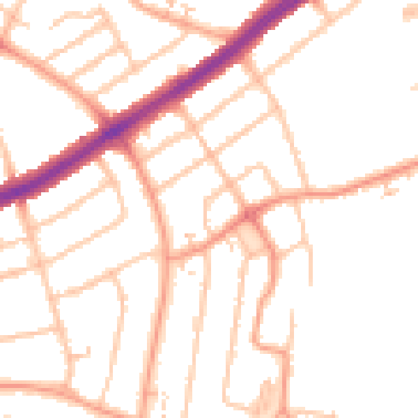
Daytime· 07:00 – 23:00
49.3dB

Night-time· 23:00 – 07:00
39.8dB