19 Hyde Road, Coventry, CV2 5ES
About 19 Hyde Road
19 Hyde Road is a three-bedroom end-of-terrace house in Coventry (CV2 5ES). It has a recorded floor area of 69 m² (around 743 sq ft), construction records dating it to 1930-1949 and council tax band B. The latest certificate (August 2016) shows a D (score 58), a step below the typical UK home. The recommended improvements would lift it to B (score 86), a 2-band jump.
It hasn't traded since August 1996, a hold of 30 years that's notably long for the area. Only one transfer is on record with HM Land Registry, suggesting it has stayed in the same hands for a long time. Today's modelled estimate of £202,000 sits 596.6% above the 1996 sale of £29,000. On a £-per-square-foot basis, the last sale (£39/sq ft) was about 75.4% below the postcode norm.
What this property has
Inside
- Bedrooms3
- Bathrooms1
- Dining roomYes
Building
- Central heatingYes
- RefurbishedYes
Everything you need to know about 19 Hyde Road
The true value, the hidden risks and the full sale history, in one report.
30-day money-back guarantee

The data behind every report


Energy performance
Recommended upgrades on file would lift this property by multiple EPC bands.
EPC Rating
Planning history
19 Hyde Road has no planning applications on record.
Notable planning nearby
2applications of note in the surrounding area
We flagged 1 thing worth checking at 19 Hyde Road
Independent checks surfaced things a buyer would want to understand before offering. The report explains each one in full, with the underlying data and what to ask.
- Larger development activity nearby
30-day money-back guarantee
Sales history & valuation
19 Hyde Road's modelled value sits at over four times its earliest registered sale price (1996).
£202,000
Modelled from EPC, postcode comparables.
£29,000
Recorded with HM Land Registry.
Sales timeline
29 August 1996Most recent
£29,000
Median price across the last 5 sales in CV2 5ES: £205,000 (2025–2024).
Versus other Hyde Road homes
Years Held for 19 Hyde Road runs comfortably ahead of the street norm.
Price per m²
£420
Street avg £2,166
Floor Area
69 m²
Street avg 79 m²
Habitable Rooms
5 rooms
Street avg 5 rooms
CO₂ Emissions
3.9 t/year
Street avg 4.2 t/year
Everything you need to know about 19 Hyde Road
The true value, the hidden risks and the full sale history, in one report.
30-day money-back guarantee
The data behind every report
Similar properties nearby
The neighbourhood at a glance
Reported crime in the wider district is trending notably upward year-on-year.
Crime
6/mo
Rising year-on-year across the wider district.
Closest school
0.3 km
Caludon Castle School. 38 schools nearby.
Go deeper on the local area
The full report breaks down crime, transport links, schools and air quality in depth.
Road noise across the postcode
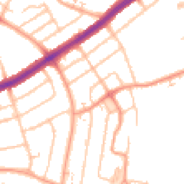
Daytime· 07:00 – 23:00
49.3dB

Night-time· 23:00 – 07:00
39.8dB