5 Carpenter Road, Coventry, CV2 3PT
About 5 Carpenter Road
5 Carpenter Road is a two-bedroom mid-terrace house in Coventry (CV2 3PT). It has a recorded floor area of 54 m² (around 581 sq ft), construction records dating it to 2003-2006 and council tax band A. The latest certificate (March 2023) shows a C (score 75), near the top of the C band. The rating has held steady at C across 2 certificates since December 2014. Between certificates, lighting went from Very Poor to Average. The recommended improvements would lift it to A (score 92), a 2-band jump.
Untraded for 19 years, with the last transfer in December 2006. Today's modelled estimate of £180,000 sits 50.1% above the 2006 sale of £119,950.
What this property has
Inside
- Bedrooms2
- Bathrooms1
- CloakroomYes
Outside
- Private gardenYes
- DrivewayYes
Building
- Central heatingYes
- RefurbishedYes
Everything you need to know about 5 Carpenter Road
The true value, the hidden risks and the full sale history, in one report.
30-day money-back guarantee

The data behind every report


Energy performance
5 Carpenter Road's carbon output is low for the local stock.
EPC Rating
Property Improvements
Changes detected from historical EPC data
More low energy lighting installed
Planning history
5 Carpenter Road has no planning applications on record.
Notable planning nearby
2applications of note in the surrounding area
We flagged 1 thing worth checking at 5 Carpenter Road
Independent checks surfaced things a buyer would want to understand before offering. The report explains each one in full, with the underlying data and what to ask.
- Larger development activity nearby
30-day money-back guarantee
Sales history & valuation
£180,000
Modelled from EPC, postcode comparables.
£119,950
Recorded with HM Land Registry.
Sales timeline
15 December 2006Most recent
£119,950
Median price across the last 5 sales in CV2 3PT: £145,000 (2023–2019).
Nearby sales in CV2 3PT
Versus other Carpenter Road homes
Years Held for 5 Carpenter Road runs comfortably ahead of the street norm.
Price per m²
£2,221
Street avg £2,400
Floor Area
54 m²
Street avg 64 m²
Habitable Rooms
3 rooms
Street avg 4 rooms
CO₂ Emissions
1.5 t/year
Street avg 1.8 t/year
Everything you need to know about 5 Carpenter Road
The true value, the hidden risks and the full sale history, in one report.
30-day money-back guarantee
The data behind every report
Similar properties nearby
The neighbourhood at a glance
Reported crime in the wider district is trending notably upward year-on-year.
Crime
6/mo
Rising year-on-year across the wider district.
Nearest stop
2.9 km
Coventry Arena Rail Station — railway station.
Closest school
0.3 km
Stoke Heath Primary School. 48 schools nearby.
Go deeper on the local area
The full report breaks down crime, transport links, schools and air quality in depth.
Road noise across the postcode
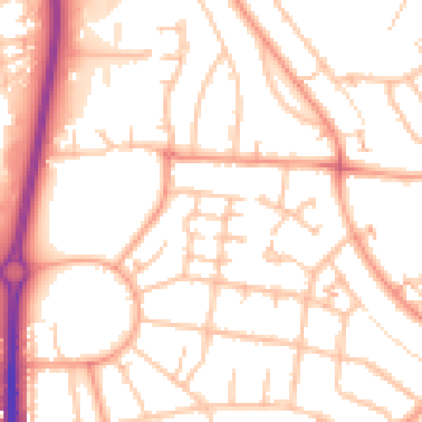
Daytime· 07:00 – 23:00
51.9dB

Night-time· 23:00 – 07:00
41.2dB