8 Amos Avenue, Nuneaton, CV10 7BD
About 8 Amos Avenue
8 Amos Avenue is a three-bedroom detached house in Nuneaton (CV10 7BD). It has a recorded floor area of 81 m² (around 872 sq ft), construction records dating it to 1950-1966 and council tax band C. The latest certificate (November 2023) shows a D (score 62), on the cusp of jumping into the C band. The recommended improvements would push it to C (score 77). The home occupies a cul-de-sac position.
Today's modelled estimate of £265,000 is 23.3% above the 2024 sale price. On a £-per-square-foot basis, the last sale (£247/sq ft) was about 37.4% above the typical sold price in the postcode. Sold October 2024 for £215,000.
Know exactly what you're buying at 8 Amos Avenue
Before you offer, see what the listing won't tell you, the true value, the red flags and the full history.
Valuation
against the asking price
Risks
planning & flood
Sold prices
similar homes nearby
Trends
the local market
What this property has
Inside
- Bedrooms3
- Bathrooms1
Outside
- GarageYes
- Cul-de-sacYes
Building
- Central heatingYes
- RefurbishedYes
Energy performance
EPC Rating
Planning history
8 Amos Avenue has no planning applications on record.
The full report still covers planning activity across the surrounding area.
Sales history & valuation
8 Amos Avenue valuation sits well clear of the typical sold price in this postcode.
£265,000
Modelled from EPC, postcode comparables.
£215,000
Recorded with HM Land Registry.
Sales timeline
3 October 2024Most recent
£215,000
Median price across the last 5 sales in CV10 7BD: £242,000 (2025–2019).
Everything we know about 8 Amos Avenue, in one report
What it's really worth, what could be wrong, and the planning, sales and area data in full.
- Am I paying too much?
- Is something wrong with it?
- Is the agent's story true?
- Will it hold its value?

Versus other Amos Avenue homes
8 Amos Avenue is notably below the street on years held.
Price per m²
£2,654
Street avg £2,095
Floor Area
81 m²
Street avg 88 m²
Habitable Rooms
5 rooms
Street avg 4 rooms
CO₂ Emissions
4.1 t/year
Street avg 4.8 t/year
Similar properties nearby
1 Atholl Crescent
CV10 7PB
1 Aster Walk
CV10 7SP
1 Carnation Way
CV10 7SR
1 Arbury Road
CV10 7NJ
1 Christchurch Close
CV10 7GD
1 Belle Vue, Arbury Road
CV10 7NP
1 Bermuda Road
CV10 7HP
1 Croft Mews, Croft Road
CV10 7ED
The neighbourhood at a glance
Reported crime in the wider district is trending notably upward year-on-year.
Crime
5/mo
Rising year-on-year across the wider district.
Nearest stop
0.1 km
Boot Inn — bus stop.
Closest school
0.2 km
Middlemarch School. 23 schools nearby.
Go deeper on the local area
The full report breaks down crime, transport links, schools and air quality in depth.
Road noise across the postcode
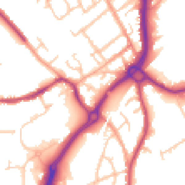
Daytime· 07:00 – 23:00
53.0dB

Night-time· 23:00 – 07:00
44.2dB