2 Amos Avenue, Nuneaton, CV10 7BD
About 2 Amos Avenue
2 Amos Avenue is a semi-detached house in Nuneaton (CV10 7BD). It has a recorded floor area of 79 m² (around 847 sq ft), construction records dating it to 1967-1975 and council tax band C. The latest certificate (August 2011) shows an E (score 53), well below the UK norm with real room to improve. The recommended improvements would push it to D (score 60). The latest certificate is from August 2011, so improvements made since then won't be reflected.
One planning record on file: an extension approved in 2014. Past consents include an extension, meaningful when judging how the property has evolved. Across 2014–2020, sale prices on this property compounded at 5% per year. Today's modelled estimate of £238,000 is 22.1% above the 2020 sale price. On a £-per-square-foot basis, the last sale (£230/sq ft) was about 28.2% above the typical sold price in the postcode. Last sale on file: £194,950 in August 2020.
Know exactly what you're buying at 2 Amos Avenue
Before you offer, see what the listing won't tell you, the true value, the red flags and the full history.
Valuation
against the asking price
Risks
planning & flood
Sold prices
similar homes nearby
Trends
the local market
Energy performance
2 Amos Avenue's EPC is over a decade old — improvements since won't be reflected.
EPC Expired
This certificate is over 10 years old and is no longer valid.Expired 17 Aug 2021
EPC Rating
Planning history
- Jul 2014ExtensionFullIn report
Extend original block work to front drive by a further 18.5 square metres, surface water run off to drain to existng garden
- Reference
- 032863
What's in 2 Amos Avenue, Nuneaton, CV10 7BD's planning history?
Refusals, disputes and full decisions on this property and nearby, in the report.
Sales history & valuation
2 Amos Avenue saw 3 transfers in just over a decade — high turnover for the postcode.
£238,000
Modelled from EPC, postcode comparables and a sale-price growth of 5.0% per year over 6 years.
£194,950
Growth on file: 5.0% per year over 6 years.
Sales timeline
20 August 2020Most recent
£194,950
+6.5%over 2 years23 May 2018
£183,000
+27.1%over 3 years29 May 2014
£144,000
Median price across the last 5 sales in CV10 7BD: £242,000 (2025–2019).
Everything we know about 2 Amos Avenue, in one report
What it's really worth, what could be wrong, and the planning, sales and area data in full.
- Am I paying too much?
- Is something wrong with it?
- Is the agent's story true?
- Will it hold its value?

Versus other Amos Avenue homes
On floor area, 2 Amos Avenue runs well behind the street norm.
Price per m²
£2,477
Street avg £2,108
Floor Area
79 m²
Street avg 88 m²
Habitable Rooms
4 rooms
Street avg 5 rooms
CO₂ Emissions
4.8 t/year
Street avg 4.8 t/year
Similar properties nearby
The neighbourhood at a glance
Reported crime in the wider district is trending notably upward year-on-year.
Crime
5/mo
Rising year-on-year across the wider district.
Nearest stop
0.1 km
Boot Inn — bus stop.
Closest school
0.2 km
Middlemarch School. 23 schools nearby.
Go deeper on the local area
The full report breaks down crime, transport links, schools and air quality in depth.
Road noise across the postcode
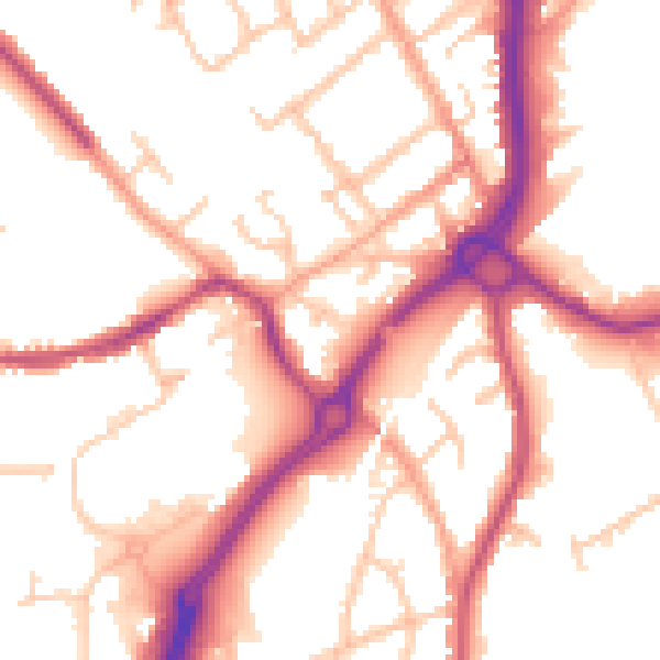
Daytime· 07:00 – 23:00
53.0dB

Night-time· 23:00 – 07:00
44.2dB