3 Atherstone Road, Hartshill, Nuneaton, CV10 0SP
About 3 Atherstone Road
3 Atherstone Road is a detached house in Hartshill, Nuneaton, Nuneaton (CV10 0SP). It has a recorded floor area of 72 m² (around 775 sq ft), construction records dating it to 1967-1975 and council tax band C. The latest certificate (January 2021) shows a D (score 61), on the cusp of jumping into the C band. When first surveyed in August 2009 the rating was E, the property has climbed 1 band since. Between certificates, lighting went from Very Poor to Very Good and main heating went from Average to Good; while roof efficiency dropped from Good to Very Poor and hot-water efficiency dropped from Very Good to Good. The recommended improvements would push it to C (score 76).
Across 2010–2016, sale prices on this property compounded at 1% per year. Today's modelled estimate of £249,000 sits 55.6% above the 2016 sale of £160,000. On a £-per-square-foot basis, the last sale (£206/sq ft) was about 43.2% above the typical sold price in the postcode. Last sold in October 2016, so it's been off the market for around 10 years. 2 planning records sit against the property, 2 approved, 0 refused. At 72 m² it's 19.8% smaller than the typical home in the postcode (90 m² median across 16 EPCs).
Know exactly what you're buying at 3 Atherstone Road
Before you offer, see what the listing won't tell you, the true value, the red flags and the full history.
Valuation
against the asking price
Risks
planning & flood
Sold prices
similar homes nearby
Trends
the local market
Energy performance
EPC Rating
Property Improvements
Changes detected from historical EPC data
Hot water system upgraded
Windows upgraded, improving insulation
Cavity wall insulation installed
More low energy lighting installed
Planning history
- Feb 2019ApplicationIn report
Continued use of the bungalow for a D1 use (non-residential institutions) for a further 3 years
- Documents
- 8 docs on file
- Reference
- PAP/2018/0738
- Dec 2017Change Of UseIn report
Temporary change of use to D1 (non residential institutions) for 12 months
- Documents
- 7 docs on file
- Reference
- PAP/2017/0512
What's in 3 Atherstone Road, Hartshill, Nuneaton, CV10 0SP's planning history?
Refusals, disputes and full decisions on this property and nearby, in the report.
Sales history & valuation
3 Atherstone Road saw 3 transfers in just over a decade — high turnover for the postcode.
£249,000
Modelled from EPC, postcode comparables and a sale-price growth of 1.0% per year over 6 years.
£160,000
Growth on file: 1.0% per year over 6 years.
Sales timeline
16 October 2016Most recent
£160,000
+10.3%over 4 years4 April 2012
£145,000
-3.3%over 1 year10 June 2010
£150,000
Median price across the last 5 sales in CV10 0SP: £233,000 (2025–2020).
Nearby sales in CV10 0SP
Myosotis, Atherstone Road, Hartshill, Nuneaton, CV10 0SP
Sold Apr 2025
£480,0005 Atherstone Road, Hartshill, Nuneaton, CV10 0SP
Sold Feb 2025
£233,0004 Atherstone Road, Hartshill, Nuneaton, CV10 0SP
Sold Aug 2024
£161,0006 Atherstone Road, Hartshill, Nuneaton, CV10 0SP
Sold Feb 2021
£118,500The Close, Atherstone Road, Hartshill, Nuneaton, CV10 0SP
Sold Nov 2020
£495,000
Everything we know about 3 Atherstone Road, in one report
What it's really worth, what could be wrong, and the planning, sales and area data in full.
- Am I paying too much?
- Is something wrong with it?
- Is the agent's story true?
- Will it hold its value?

Versus other Atherstone Road homes
On habitable rooms, 3 Atherstone Road runs well behind the street norm.
Price per m²
£2,222
Street avg £2,034
Floor Area
72 m²
Street avg 115 m²
Habitable Rooms
3 rooms
Street avg 5 rooms
CO₂ Emissions
4.0 t/year
Street avg 5.4 t/year
Similar properties nearby
1 Carisbrook Road
CV10 0BU
1 Bluebell Close, Hartshill
CV10 0AU
1 Arlon Avenue
CV10 0JY
1 Caldecote Mews, Caldecote Hall Drive, Caldecote
CV10 0TW
1 Castle Road
CV10 0EN
1 Brookdale Road
CV10 0BL
1 Ansley Hall, Coleshill Road, Ansley Common
CV10 0QG
1 Berrington Road
CV10 0LA
The neighbourhood at a glance
Reported crime in the wider district is trending notably upward year-on-year.
Crime
5/mo
Rising year-on-year across the wider district.
Nearest stop
0.2 km
Green — bus stop.
Closest school
0.8 km
Michael Drayton Junior School. 11 schools nearby.
Go deeper on the local area
The full report breaks down crime, transport links, schools and air quality in depth.
Road noise across the postcode
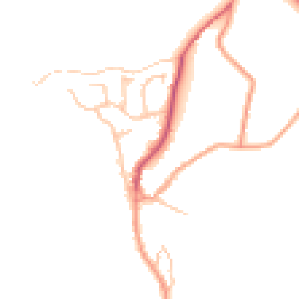
Daytime· 07:00 – 23:00
44.8dB

Night-time· 23:00 – 07:00
37.3dB