1 Ryde Avenue, Nuneaton, CV10 0BW
About 1 Ryde Avenue
1 Ryde Avenue is a three-bedroom property in Nuneaton (CV10 0BW). It has council tax band B.
Untraded for 21 years, with the last transfer in January 2005. Across 2004–2005, sale prices on this property compounded at 21.4% per year.
Know exactly what you're buying at 1 Ryde Avenue
Before you offer, see what the listing won't tell you, the true value, the red flags and the full history.
Already flagged here
Valuation
against the asking price
Risks
planning & flood
Sold prices
similar homes nearby
Trends
the local market
What this property has
Inside
- Bedrooms3
Energy performance
No EPC on record
This property doesn't have an Energy Performance Certificate yet. An EPC is required to sell or let — and unlocks our automated valuation.
Planning history
1 Ryde Avenue has no planning applications on record.
Notable planning nearby
1applications of note in the surrounding area
We flagged 1 thing worth checking at 1 Ryde Avenue
Independent checks surfaced things a buyer would want to understand before offering. The report explains each one in full, with the underlying data and what to ask.
- Recent ownership pattern worth a look
30-day money-back guarantee
Sales history & valuation
1 Ryde Avenue changed hands twice within eighteen months — unusual for the area.
£142,000
Growth on file: 21.4% per year over 1 year.
Sales timeline
21 January 2005Most recent
£142,000
+21.4%2 September 2004
£117,000
Median price across the last 5 sales in CV10 0BW: £227,500 (2025–2023).
Everything we know about 1 Ryde Avenue, in one report
What it's really worth, what could be wrong, and the planning, sales and area data in full.
What we flagged
- Recent ownership pattern worth a look

Similar properties nearby
1 Atherstone Road, Hartshill
CV10 0SP
1 Ash Drive, Hartshill
CV10 0XL
1 Brookdale Road
CV10 0BL
1 Beech Close, Hartshill
CV10 0XJ
1 Ashbrook Rise
CV10 0UH
1 Brading Road
CV10 0DA
1 Carisbrook Road
CV10 0BU
1 Bluebell Close, Hartshill
CV10 0AU
The neighbourhood at a glance
Reported crime in the wider district is trending notably upward year-on-year.
Crime
5/mo
Rising year-on-year across the wider district.
Nearest stop
0.1 km
Ventnor Street — bus stop.
Closest school
0.4 km
Higham Lane School. 22 schools nearby.
Go deeper on the local area
The full report breaks down crime, transport links, schools and air quality in depth.
Road noise across the postcode
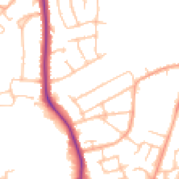
Daytime· 07:00 – 23:00
48.4dB

Night-time· 23:00 – 07:00
40.2dB